Skip to content
Novus Examples

Explore the test library

Search files, editable visual templates, and live browser targets from one registry-backed directory. Filtered query views stay crawlable for links but are deliberately noindex; the stable taxonomy pages below remain the canonical search surfaces.

158 results

Page 1 of 7; 24 results per page.

Show the canonical directory
Preview of Convert v2 Shapefile DBF Companion
dbf
377 B
Actual file preview for Convert v2 Shapefile DBF Companion

Convert v2 Shapefile DBF Companion

Real DBF component from the five-town Kestrel Bay shapefile set, copied byte-for-byte into the Convert v2 reserve. Stable P8 artifact p8-convert-shapefile-dbf.

File
DBF · P8 Convert · 5 records
Use case
Conversion testingGeospatial· Conversion set
Preview of Convert v2 Shapefile Expected GeoJSON
geojson
1.5 KB
Actual file preview for Convert v2 Shapefile Expected GeoJSON

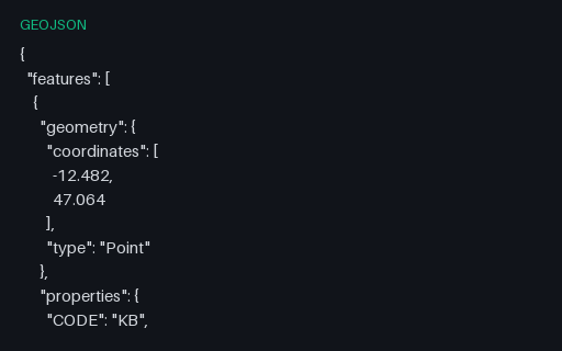
Convert v2 Shapefile Expected GeoJSON

GeoJSON semantic target for the five-town shapefile set, preserving point order, CODE/NAME/POP/FOUNDED attributes, and longitude/latitude coordinates; the omitted .cpg is safe because every copied DBF value is ASCII. Stable P8 artifact p8-convert-shapefile-geojson.

File
GEOJSON · P8 Convert
Use case
Conversion testingGeospatial+1· Conversion set
Preview of Convert v2 Shapefile PRJ Companion
prj
145 B
Actual file preview for Convert v2 Shapefile PRJ Companion

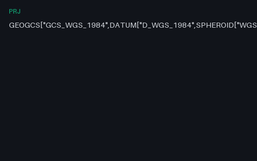
Convert v2 Shapefile PRJ Companion

Real PRJ component from the five-town Kestrel Bay shapefile set, copied byte-for-byte into the Convert v2 reserve. Stable P8 artifact p8-convert-shapefile-prj.

File
PRJ · P8 Convert · 5 records
Use case
Conversion testingGeospatial· Conversion set
Preview of Convert v2 Shapefile SHP Companion
shp
240 B
Actual file preview for Convert v2 Shapefile SHP Companion

Convert v2 Shapefile SHP Companion

Real SHP component from the five-town Kestrel Bay shapefile set, copied byte-for-byte into the Convert v2 reserve. Stable P8 artifact p8-convert-shapefile-shp.

File
SHP · P8 Convert · 5 records
Use case
Conversion testingGeospatial· Conversion set

Preview of Convert v2 Shapefile SHX Companion
shx
140 B
Actual file preview for Convert v2 Shapefile SHX Companion

Convert v2 Shapefile SHX Companion

Real SHX component from the five-town Kestrel Bay shapefile set, copied byte-for-byte into the Convert v2 reserve. Stable P8 artifact p8-convert-shapefile-shx.

File
SHX · P8 Convert · 5 records
Use case
Conversion testingGeospatial· Conversion set

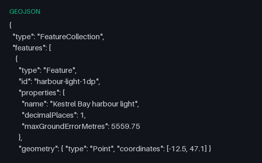
Preview of Coordinate Precision — 1 Decimal Place
geojson
337 B
Actual file preview for Coordinate Precision — 1 Decimal Place

Coordinate Precision — 1 Decimal Place

The same harbour light written to 1 decimal place — enough to identify which country you are in. The ladder exists because coordinate precision is almost always chosen by accident, and shipping six unnecessary digits multiplies the size of every geometry in a tileset.

File
GEOJSON · Precision · UTF-8
Use case
GeospatialJSON parsing+1· Conversion set
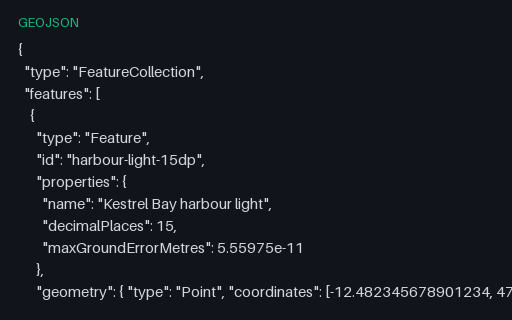
Preview of Coordinate Precision — 15 Decimal Places
geojson
371 B
Actual file preview for Coordinate Precision — 15 Decimal Places

Coordinate Precision — 15 Decimal Places

The same harbour light written to 15 decimal places — enough to identify beyond what a float64 can hold for a coordinate at all. The ladder exists because coordinate precision is almost always chosen by accident, and shipping six unnecessary digits multiplies the size of every geometry in a tileset.

File
GEOJSON · Precision · UTF-8
Use case
GeospatialJSON parsing+1· Conversion set
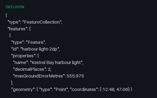
Preview of Coordinate Precision — 2 Decimal Places
geojson
339 B
Actual file preview for Coordinate Precision — 2 Decimal Places

Coordinate Precision — 2 Decimal Places

The same harbour light written to 2 decimal places — enough to identify which town you are in. The ladder exists because coordinate precision is almost always chosen by accident, and shipping six unnecessary digits multiplies the size of every geometry in a tileset.

File
GEOJSON · Precision · UTF-8
Use case
GeospatialJSON parsing+1· Conversion set
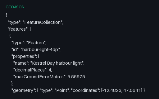
Preview of Coordinate Precision — 4 Decimal Places
geojson
343 B
Actual file preview for Coordinate Precision — 4 Decimal Places

Coordinate Precision — 4 Decimal Places

The same harbour light written to 4 decimal places — enough to identify which building you are in. The ladder exists because coordinate precision is almost always chosen by accident, and shipping six unnecessary digits multiplies the size of every geometry in a tileset.

File
GEOJSON · Precision · UTF-8
Use case
GeospatialJSON parsing+1· Conversion set
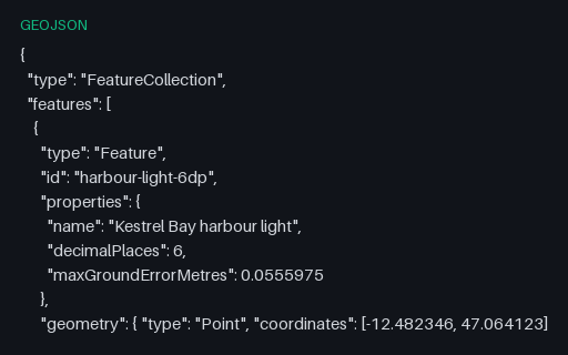
Preview of Coordinate Precision — 6 Decimal Places
geojson
349 B
Actual file preview for Coordinate Precision — 6 Decimal Places

Coordinate Precision — 6 Decimal Places

The same harbour light written to 6 decimal places — enough to identify which doorway you are standing in. The ladder exists because coordinate precision is almost always chosen by accident, and shipping six unnecessary digits multiplies the size of every geometry in a tileset.

File
GEOJSON · Precision · UTF-8
Use case
GeospatialJSON parsing+1· Conversion set
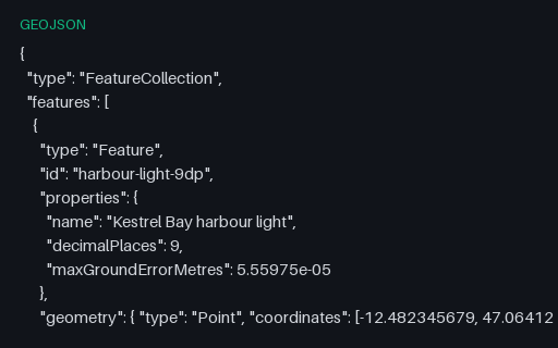
Preview of Coordinate Precision — 9 Decimal Places
geojson
357 B
Actual file preview for Coordinate Precision — 9 Decimal Places

Coordinate Precision — 9 Decimal Places

The same harbour light written to 9 decimal places — enough to identify far finer than any consumer receiver can fix. The ladder exists because coordinate precision is almost always chosen by accident, and shipping six unnecessary digits multiplies the size of every geometry in a tileset.

File
GEOJSON · Precision · UTF-8
Use case
GeospatialJSON parsing+1· Conversion set
Preview of Coordinate Precision — Decimal Places to Metres Reference
csv
526 B
Actual file preview for Coordinate Precision — Decimal Places to Metres Reference

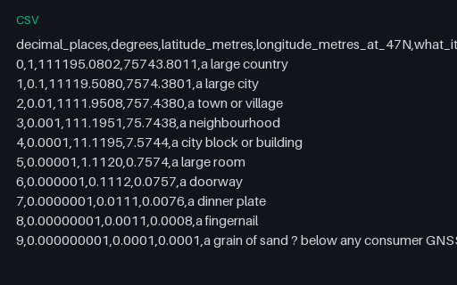
Coordinate Precision — Decimal Places to Metres Reference

What each decimal place is actually worth on the ground, computed on a sphere of mean Earth radius at the territory's latitude. Longitude degrees are shorter than latitude degrees by the cosine of the latitude, which is why the two columns diverge.

File
CSV · Precision · 10 rows
Use case
GeospatialCSV parsing+1· Conversion set
Preview of Coordinate Precision — Float64 Round-Trip Hazards
geojson
1.1 KB
Actual file preview for Coordinate Precision — Float64 Round-Trip Hazards

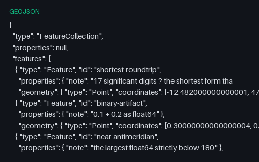
Coordinate Precision — Float64 Round-Trip Hazards

Five features whose coordinates are the values that break naive JSON number handling: 17-significant-digit doubles, the classic 0.1 + 0.2 artefact, the largest float64 below 180, a 1e-7 offset, and coordinates written in exponent form. Re-serialising this file is where a parser quietly loses or gains a digit.

File
GEOJSON · Precision · UTF-8
Use case
GeospatialJSON parsing+1· Conversion set
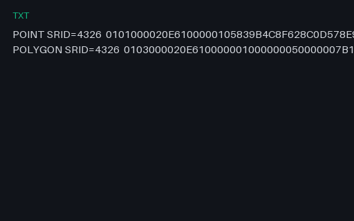
Preview of EWKB — PostGIS Hex With an Embedded SRID
txt
280 B
Actual file preview for EWKB — PostGIS Hex With an Embedded SRID

EWKB — PostGIS Hex With an Embedded SRID

PostGIS EWKB, where the SRID is carried by OR-ing 0x20000000 into the geometry-type word and appending the code. A strict OGC WKB reader sees type 0x20000001 instead of 1 and either fails or, worse, reports an unknown geometry type.

File
TXT · Wkt Wkb · 2 records
Use case
GeospatialSerialization testing+1· Conversion set
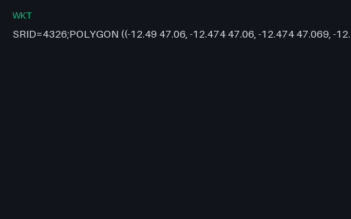
Preview of EWKT — PostGIS Extended WKT With an SRID Prefix
wkt
95 B
Actual file preview for EWKT — PostGIS Extended WKT With an SRID Prefix

EWKT — PostGIS Extended WKT With an SRID Prefix

PostGIS's extended WKT, which prefixes the geometry with `SRID=4326;`. It is not part of the OGC standard, so a strict WKT parser rejects the whole string — while a PostGIS-aware one gets the coordinate system for free.

File
WKT · Wkt Wkb · ASCII
Use case
GeospatialSerialization testing+1· Conversion set
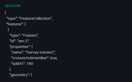
Preview of GeoJSON — Antimeridian Line Split per RFC 7946
geojson
675 B
Actual file preview for GeoJSON — Antimeridian Line Split per RFC 7946

GeoJSON — Antimeridian Line Split per RFC 7946

The same transect cut at the 180th meridian into a two-part MultiLineString, which is what RFC 7946 section 3.1.9 recommends. The split latitude is the linear interpolation of the unsplit twin, so the two files describe the same ground path.

File
GEOJSON · Geojson Edge Cases · UTF-8
Use case
GeospatialConversion testing+1· Conversion set
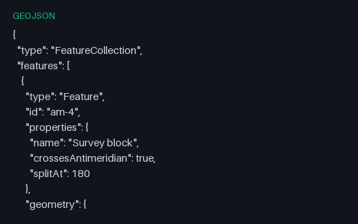
Preview of GeoJSON — Antimeridian Polygon Split into a MultiPolygon
geojson
1.2 KB
Actual file preview for GeoJSON — Antimeridian Polygon Split into a MultiPolygon

GeoJSON — Antimeridian Polygon Split into a MultiPolygon

The straddling block cut at 180 into two polygons that share an edge on the meridian — the interoperable form. Use it as the expected output when testing an antimeridian-splitting routine against the unsplit twin.

File
GEOJSON · Geojson Edge Cases · UTF-8
Use case
GeospatialConversion testing+1· Conversion set
Preview of GeoJSON — Bare Geometry Object (no Feature)
geojson
298 B
Actual file preview for GeoJSON — Bare Geometry Object (no Feature)

GeoJSON — Bare Geometry Object (no Feature)

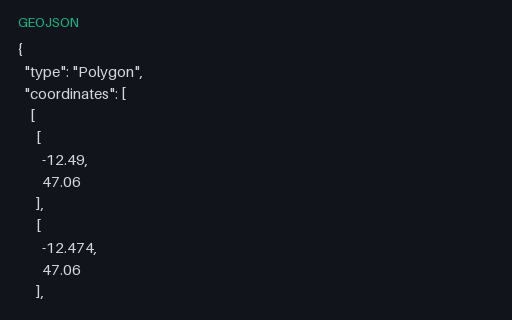
A top-level Geometry object with no Feature or FeatureCollection around it. This is legal GeoJSON and is what PostGIS `ST_AsGeoJSON` returns, but a surprising number of importers only accept a FeatureCollection.

File
GEOJSON · Geojson · UTF-8
Use case
GeospatialJSON parsing+1· Conversion set
Preview of GeoJSON — bbox on Every Feature
geojson
2.5 KB
Actual file preview for GeoJSON — bbox on Every Feature

GeoJSON — bbox on Every Feature

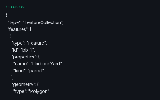
Three features that each carry their own bbox. Spatial indexes are often built from these declared boxes instead of the geometry, so a wrong or stale one produces a query that silently misses features.

File
GEOJSON · Geojson · UTF-8
Use case
GeospatialJSON parsing+1· Conversion set
Preview of GeoJSON — bbox on the FeatureCollection
geojson
1.8 KB
Actual file preview for GeoJSON — bbox on the FeatureCollection

GeoJSON — bbox on the FeatureCollection

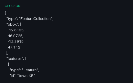
The five towns with a four-element bounding box on the collection, ordered west, south, east, north as RFC 7946 requires. The values are the true extent of the contained points, so a reader that recomputes the box can be scored against the declared one.

File
GEOJSON · Geojson · UTF-8
Use case
GeospatialJSON parsing+1· Conversion set
Preview of GeoJSON — Clockwise Exterior Ring (right-hand rule violated)
geojson
1.1 KB
Actual file preview for GeoJSON — Clockwise Exterior Ring (right-hand rule violated)

GeoJSON — Clockwise Exterior Ring (right-hand rule violated)

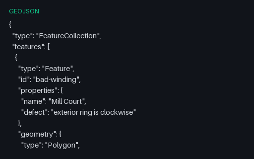
Both rings of the Mill Court parcel are wound the wrong way round: the exterior clockwise, the interior counter-clockwise. RFC 7946 mandates the right-hand rule, and consumers that rely on winding to tell holes from shells will read this polygon inside out.

File
GEOJSON · Geojson Edge Cases · UTF-8
Use case
GeospatialError handling+1· Conversion set
Preview of GeoJSON — Deeply Nested and Mixed-Type Properties
geojson
886 B
Actual file preview for GeoJSON — Deeply Nested and Mixed-Type Properties

GeoJSON — Deeply Nested and Mixed-Type Properties

One feature whose properties mix every JSON type and nest three levels deep. Formats with a flat attribute table — shapefile DBF, most SQL layers — cannot represent this, so the fixture shows whether a converter flattens, JSON-encodes, or discards the nested values.

File
GEOJSON · Geojson · UTF-8
Use case
GeospatialJSON parsing+1· Conversion set
Preview of GeoJSON — Empty FeatureCollection
geojson
52 B
Actual file preview for GeoJSON — Empty FeatureCollection

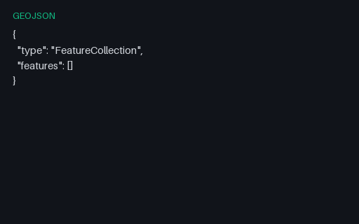
GeoJSON — Empty FeatureCollection

A structurally valid FeatureCollection with an empty `features` array — what a spatial query legitimately returns when nothing matches. It is the standard fixture for the empty-state path of a map component.

File
GEOJSON · Geojson · UTF-8
Use case
GeospatialJSON parsing+1· Conversion set
Preview of GeoJSON — Empty GeometryCollection
geojson
300 B
Actual file preview for GeoJSON — Empty GeometryCollection

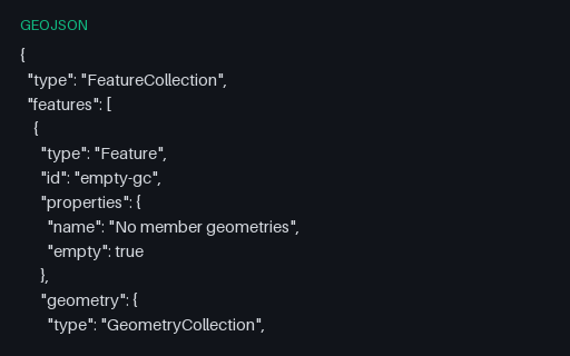
GeoJSON — Empty GeometryCollection

A GeometryCollection with an empty `geometries` array — structurally valid, semantically the empty geometry. Converters that map a collection onto a multi-geometry type usually emit null here, quietly changing the record's meaning.

File
GEOJSON · Geojson Edge Cases · UTF-8
Use case
GeospatialError handling+1· Conversion set