
Convert v2 Shapefile SHP Companion
Real SHP component from the five-town Kestrel Bay shapefile set, copied byte-for-byte into the Convert v2 reserve. Stable P8 artifact p8-convert-shapefile-shp.
| property | expected |
|---|---|
| records | 5 |
| crs | EPSG:4326 |
| component | shp |
Specifications
- Records
- 5
- Crs
- WGS 84
- Component
- shp
- Delivery Mode
- download-only
- Provider
- converter-v2
- Provenance
- Synthetic deterministic P8 fixture generated by generation/p8_content.py; seed namespace 2026082300
- Fixture Reserve
- convert-v2
Testing contract
Expected to pass- Scenario
- Load the SHP component together with the other three companions in group p8-convert-shapefile.
- Expected result
- The set resolves five point records in WGS 84; geometry, index, attributes, and projection agree without a missing-sidecar warning.
What is a .shp file?
The .shp file is the geometry component of an Esri shapefile. It stores a fixed 100-byte header followed by variable-length records, each holding one point, polyline, polygon, or multipoint feature as raw little-endian doubles. It is never usable alone: a shapefile is a set of sidecar files, minimally .shp with a .shx index and a .dbf attribute table, and usually a .prj holding the coordinate reference system.
How to use this file
Use an example .shp file — together with its sidecars — to test GIS readers and converters, checking ring orientation for polygons with holes, the bounding box in the header, and that record counts agree with the .shx index and .dbf table.
How to use this file for testing
“Convert v2 Shapefile SHP Companion” is a deterministic Novus Examples fixture for Conversion testing, Geospatial. The same content exported across many formats and linked as a group, so you can convert one and diff against the expected twin.
Documented properties for this file: 5 records. Compare results against paired or grouped companions on this page when present (clean↔damaged, searchable↔scanned, or format twins) so scores stay reproducible across runs.
Download the file once, keep the path stable in CI or local scripts, and treat the spec table as the contract: dimensions, seeds, field lists, and roles are intentional. Corrupt or invalid samples are labelled as such — expect parsers to fail loudly rather than silently accept them.
Geospatial fixtures publish one invented territory across formats, with the coordinate reference system and feature counts documented in specs. Convert or reproject and diff against the twin in the same group; edge-case geometries state exactly which assumption they are built to break.
Related files
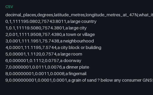
- csvCoordinate Precision — Decimal Places to Metres ReferenceWhat each decimal place is actually worth on the ground, computed on a sphere of mean Earth radius at the territory's latitude. Longitude degrees are shorter than latitude degrees by the cosine of the latitude, which is why the two columns diverge.
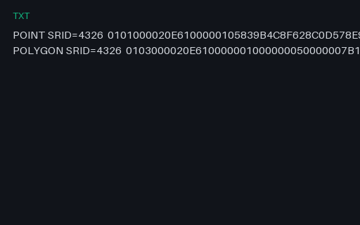
- txtEWKB — PostGIS Hex With an Embedded SRIDPostGIS EWKB, where the SRID is carried by OR-ing 0x20000000 into the geometry-type word and appending the code. A strict OGC WKB reader sees type 0x20000001 instead of 1 and either fails or, worse, reports an unknown geometry type.
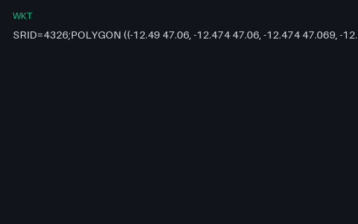
- wktEWKT — PostGIS Extended WKT With an SRID PrefixPostGIS's extended WKT, which prefixes the geometry with `SRID=4326;`. It is not part of the OGC standard, so a strict WKT parser rejects the whole string — while a PostGIS-aware one gets the coordinate system for free.
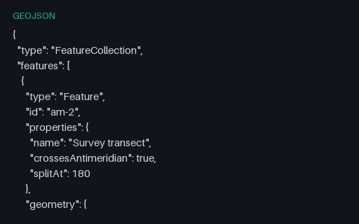
- geojsonGeoJSON — Antimeridian Line Split per RFC 7946The same transect cut at the 180th meridian into a two-part MultiLineString, which is what RFC 7946 section 3.1.9 recommends. The split latitude is the linear interpolation of the unsplit twin, so the two files describe the same ground path.
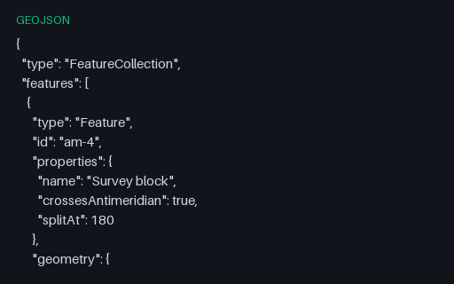
- geojsonGeoJSON — Antimeridian Polygon Split into a MultiPolygonThe straddling block cut at 180 into two polygons that share an edge on the meridian — the interoperable form. Use it as the expected output when testing an antimeridian-splitting routine against the unsplit twin.
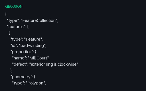
- geojsonGeoJSON — Clockwise Exterior Ring (right-hand rule violated)Both rings of the Mill Court parcel are wound the wrong way round: the exterior clockwise, the interior counter-clockwise. RFC 7946 mandates the right-hand rule, and consumers that rely on winding to tell holes from shells will read this polygon inside out.
Generated by generation/p8_content.py. Free for any use, no attribution required — license.