
GeoJSON — Clockwise Exterior Ring (right-hand rule violated)
Both rings of the Mill Court parcel are wound the wrong way round: the exterior clockwise, the interior counter-clockwise. RFC 7946 mandates the right-hand rule, and consumers that rely on winding to tell holes from shells will read this polygon inside out.
{
  "type": "FeatureCollection",
  "features": [
    {
      "type": "Feature",
      "id": "bad-winding",
      "properties": {
        "name": "Mill Court",
        "defect": "exterior ring is clockwise"
      },
      "geometry": {
        "type": "Polygon",
        "coordinates": [
          [
            [
              -12.47,
              47.056
            ],
            [
              -12.47,
              47.068
            ],
            [
              -12.452,
              47.068
            ],
            [
              -12.452,
              47.056
            ],
            [
              -12.47,
              47.056
            ]
          ],
          [
            [
              -12.465,
              47.06
            ],
            [
              -12.457,
              47.06
            ],
            [
              -12.457,
              47.064
            ],
            [
-12.465,Specifications
- Format
- GeoJSON (RFC 7946)
- Crs
- WGS 84 (EPSG:4326)
- Coordinate Order
- longitude, latitude
- Encoding
- UTF-8
- Line Endings
- LF
- Features
- 1
- Exterior Winding
- clockwise
- Interior Winding
- counter-clockwise
- Spec Section
- RFC 7946 section 3.1.6 (right-hand rule)
- Valid
- false
- Defect
- winding order inverted on both rings
Testing contract
Expected to recover- Scenario
- Import the polygon and check which ring is treated as the exterior.
- Expected result
- The tool either rewinds to right-hand-rule order or flags the winding — it does not silently swap the shell and the hole.
What is a .geojson file?
GeoJSON is a JSON-based format for encoding geographic data structures such as points, lines, and polygons, along with their properties. It uses WGS84 longitude-latitude coordinates and standard feature and feature-collection objects. It is a common interchange format for web mapping and GIS.
How to use this file
Use an example GeoJSON file to test geometry parsing, coordinate handling, and mapping libraries or GIS pipelines that render or analyze spatial features.
How to use this file for testing
“GeoJSON — Clockwise Exterior Ring (right-hand rule violated)” is a deterministic Novus Examples fixture for Geospatial, Error handling, Conversion testing. GeoJSON, GPX, and KML files with points, lines, polygons, and tracks — for testing map tools, route parsers, and geo importers.
Documented properties for this file: UTF-8 · LF · intentionally invalid. Compare results against paired or grouped companions on this page when present (clean↔damaged, searchable↔scanned, or format twins) so scores stay reproducible across runs.
Download the file once, keep the path stable in CI or local scripts, and treat the spec table as the contract: dimensions, seeds, field lists, and roles are intentional. Corrupt or invalid samples are labelled as such — expect parsers to fail loudly rather than silently accept them.
Geospatial fixtures publish one invented territory across formats, with the coordinate reference system and feature counts documented in specs. Convert or reproject and diff against the twin in the same group; edge-case geometries state exactly which assumption they are built to break.
Code examples
import geopandas as gpd

gdf = gpd.read_file("ring-clockwise-exterior.geojson")
print(gdf.head())
print(gdf.crs)
Related files
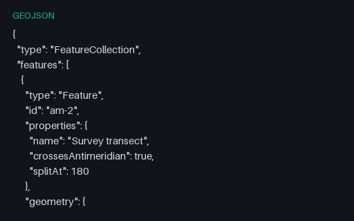
- geojsonGeoJSON — Antimeridian Line Split per RFC 7946The same transect cut at the 180th meridian into a two-part MultiLineString, which is what RFC 7946 section 3.1.9 recommends. The split latitude is the linear interpolation of the unsplit twin, so the two files describe the same ground path.
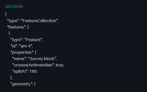
- geojsonGeoJSON — Antimeridian Polygon Split into a MultiPolygonThe straddling block cut at 180 into two polygons that share an edge on the meridian — the interoperable form. Use it as the expected output when testing an antimeridian-splitting routine against the unsplit twin.
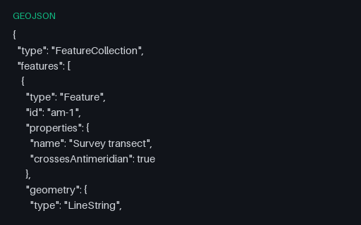
- geojsonGeoJSON — LineString Crossing the Antimeridian (unsplit)A two-point line whose longitudes step from 179.6 to -179.7. Interpolating naively draws a 359.3-degree line all the way back around the world instead of the 0.7-degree hop across the 180th meridian — the classic antimeridian artefact.
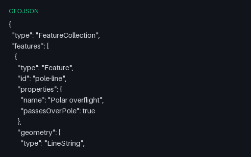
- geojsonGeoJSON — LineString Passing Over the North PoleA flight path that goes up one meridian, touches the pole, and comes down the antipodal meridian — so longitude jumps by exactly 180 degrees at the middle vertex. Renderers that interpolate in longitude draw a horizontal streak across the whole map instead.
- geojsonGeoJSON — Longitude Written Beyond 180The same transect with its eastern end written as 180.3 rather than the normalised -179.7. Producers that accumulate longitudes across the antimeridian emit this constantly; RFC 7946 restricts longitude to -180..180, so a strict reader must reject or normalise it.
- geojsonGeoJSON — Points Exactly at the PolesThree points at exactly plus or minus 90 degrees latitude, two of which are the same physical place written with different longitudes. Web Mercator cannot represent either pole — latitude 90 projects to infinity — so this is the fixture that catches divide-by-zero and NaN in a reprojection path.
Generated by generation/geospatial.py. Free for any use, no attribution required — license.