
GeoJSON — Deeply Nested and Mixed-Type Properties
One feature whose properties mix every JSON type and nest three levels deep. Formats with a flat attribute table — shapefile DBF, most SQL layers — cannot represent this, so the fixture shows whether a converter flattens, JSON-encodes, or discards the nested values.
{
  "type": "FeatureCollection",
  "features": [
    {
      "type": "Feature",
      "id": "np-1",
      "properties": {
        "name": "Kestrel Bay",
        "population": 4820,
        "coastal": true,
        "vacant": null,
        "elevationM": 12.4,
        "tags": [
          "harbour",
          "ferry",
          "market"
        ],
        "census": {
          "2011": {
            "population": 4410,
            "households": 1832
          },
          "2021": {
            "population": 4820,
            "households": 2047
          }
        },
        "contact": {
          "office": {
            "phone": "+00 555 0100",
            "hours": [
              9,
              17
            ]
          }
        }
      },
      "geometry": {
        "type": "Point",
        "coordinates": [
          -12.482,
          47.064
        ]
      }
    }
  ]
}
Specifications
- Format
- GeoJSON (RFC 7946)
- Crs
- WGS 84 (EPSG:4326)
- Coordinate Order
- longitude, latitude
- Encoding
- UTF-8
- Line Endings
- LF
- Features
- 1
- Property Types
- string, number, boolean, null, array, object
- Max Nesting Depth
- 3
- Valid
- true
Testing contract
Expected to pass- Scenario
- Convert the feature to a flat attribute table such as a shapefile DBF.
- Expected result
- Nested objects and arrays are either flattened with documented key paths or stored as JSON text — never silently dropped.
What is a .geojson file?
GeoJSON is a JSON-based format for encoding geographic data structures such as points, lines, and polygons, along with their properties. It uses WGS84 longitude-latitude coordinates and standard feature and feature-collection objects. It is a common interchange format for web mapping and GIS.
How to use this file
Use an example GeoJSON file to test geometry parsing, coordinate handling, and mapping libraries or GIS pipelines that render or analyze spatial features.
How to use this file for testing
“GeoJSON — Deeply Nested and Mixed-Type Properties” is a deterministic Novus Examples fixture for Geospatial, JSON parsing, Schema validation. GeoJSON, GPX, and KML files with points, lines, polygons, and tracks — for testing map tools, route parsers, and geo importers.
Documented properties for this file: UTF-8 · LF · GeoJSON (RFC 7946). Compare results against paired or grouped companions on this page when present (clean↔damaged, searchable↔scanned, or format twins) so scores stay reproducible across runs.
Download the file once, keep the path stable in CI or local scripts, and treat the spec table as the contract: dimensions, seeds, field lists, and roles are intentional. Corrupt or invalid samples are labelled as such — expect parsers to fail loudly rather than silently accept them.
Geospatial fixtures publish one invented territory across formats, with the coordinate reference system and feature counts documented in specs. Convert or reproject and diff against the twin in the same group; edge-case geometries state exactly which assumption they are built to break.
Code examples
import geopandas as gpd

gdf = gpd.read_file("properties-nested.geojson")
print(gdf.head())
print(gdf.crs)
Related files
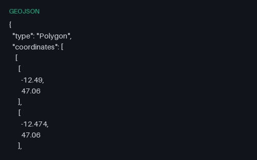
- geojsonGeoJSON — Bare Geometry Object (no Feature)A top-level Geometry object with no Feature or FeatureCollection around it. This is legal GeoJSON and is what PostGIS `ST_AsGeoJSON` returns, but a surprising number of importers only accept a FeatureCollection.
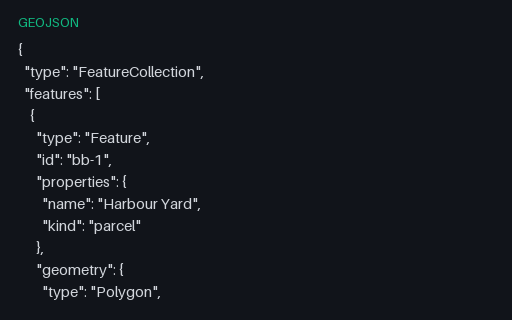
- geojsonGeoJSON — bbox on Every FeatureThree features that each carry their own bbox. Spatial indexes are often built from these declared boxes instead of the geometry, so a wrong or stale one produces a query that silently misses features.
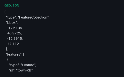
- geojsonGeoJSON — bbox on the FeatureCollectionThe five towns with a four-element bounding box on the collection, ordered west, south, east, north as RFC 7946 requires. The values are the true extent of the contained points, so a reader that recomputes the box can be scored against the declared one.
- geojsonGeoJSON — Empty FeatureCollectionA structurally valid FeatureCollection with an empty `features` array — what a spatial query legitimately returns when nothing matches. It is the standard fixture for the empty-state path of a map component.
- geojsonGeoJSON — Foreign Members at Every LevelRFC 7946 section 6 allows members it does not define to sit alongside the ones it does, and requires parsers to ignore rather than reject them. This collection carries three such members at the top level.
- geojsonGeoJSON — Mixed-Geometry FeatureCollectionAll seven RFC 7946 geometry types in a single FeatureCollection. Formats with a single-geometry-type-per-layer model — shapefile, most database tables — cannot hold this in one layer, so it is the fixture that reveals how a converter splits or refuses it.
Generated by generation/geospatial.py. Free for any use, no attribution required — license.