topojson
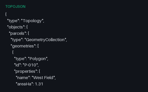
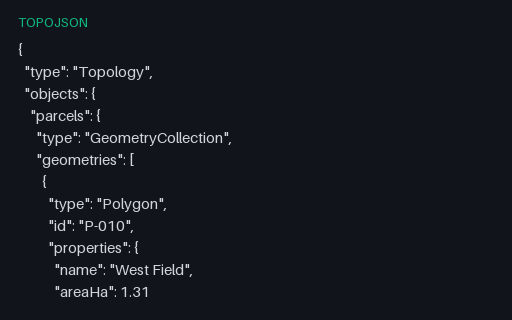
1.2 KBTopoJSON — Two Parcels Sharing One Arc
Two adjacent parcels that share their common boundary as a single arc: West Field references it as 0 and East Field as ~0, the negative-index form that means traverse it backwards. Storing the boundary once is the whole point of TopoJSON, and it is also where naive decoders produce gaps or slivers.
- File
- TOPOJSON · Topojson · UTF-8
- Use case
- GeospatialConversion testing+1· Conversion set