
WKT — M (measured) Geometry
A point with an M (measure) ordinate rather than a Z. Written without the tag this is indistinguishable from a Z geometry, and a parser that assumes the third ordinate is elevation silently converts a 345-second measure into a 345-metre altitude.
POINT M (-12.482 47.064 345)
Specifications
- Format
- OGC Well-Known Text
- Crs
- WGS 84 (EPSG:4326)
- Coordinate Order
- longitude latitude
- Encoding
- ASCII
- Line Endings
- LF
- Coordinate Precision
- 6
- Geometry Type
- POINT M
- Dimensions
- XYM
- M Meaning
- linear measure, seconds
- Valid
- true
Testing contract
Expected to pass- Scenario
- Parse the value and report what the third ordinate means.
- Expected result
- The third ordinate is identified as M (a measure of 345), never as elevation.
What is a .wkt file?
WKT (Well-Known Text) is the OGC's human-readable encoding for geometry and for coordinate reference systems. Geometry WKT spells out a type and its coordinates — POINT, LINESTRING, POLYGON, and their MULTI and GEOMETRYCOLLECTION forms — while CRS WKT nests PROJCS, GEOGCS, DATUM, and PARAMETER clauses. Its binary counterpart, WKB, encodes the same geometry model compactly.
How to use this file
Use an example .wkt file to test geometry parsers and CRS handling, exercising polygons with interior rings, empty geometries, coordinate precision, and the difference between WKT geometry and WKT coordinate-system definitions.
How to use this file for testing
“WKT — M (measured) Geometry” is a deterministic Novus Examples fixture for Geospatial, Serialization testing, Error handling. GeoJSON, GPX, and KML files with points, lines, polygons, and tracks — for testing map tools, route parsers, and geo importers.
Documented properties for this file: ASCII · LF · OGC Well-Known Text. Compare results against paired or grouped companions on this page when present (clean↔damaged, searchable↔scanned, or format twins) so scores stay reproducible across runs.
Download the file once, keep the path stable in CI or local scripts, and treat the spec table as the contract: dimensions, seeds, field lists, and roles are intentional. Corrupt or invalid samples are labelled as such — expect parsers to fail loudly rather than silently accept them.
Geospatial fixtures publish one invented territory across formats, with the coordinate reference system and feature counts documented in specs. Convert or reproject and diff against the twin in the same group; edge-case geometries state exactly which assumption they are built to break.
Related files
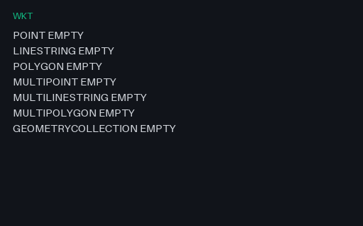
- wktWKT — All Seven EMPTY Geometry FormsOne EMPTY value for each WKT geometry type, one per line. Empty geometries are what spatial operations return when nothing is left, and round-tripping them is where a database driver usually turns a typed empty into a plain NULL.
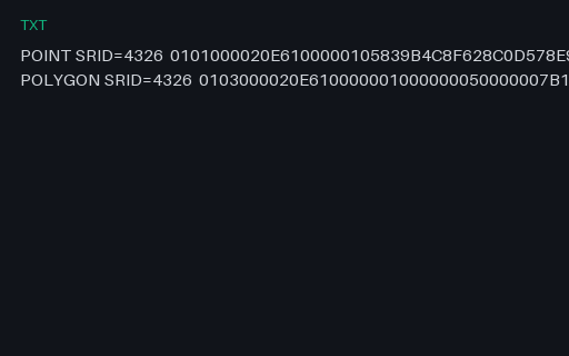
- txtEWKB — PostGIS Hex With an Embedded SRIDPostGIS EWKB, where the SRID is carried by OR-ing 0x20000000 into the geometry-type word and appending the code. A strict OGC WKB reader sees type 0x20000001 instead of 1 and either fails or, worse, reports an unknown geometry type.
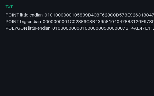
- txtWKB — Hex Strings in Both Byte OrdersThe same point encoded both ways, plus a polygon, as uppercase hex — the form WKB takes when it travels through a text column or a SQL console. The byte-order flag is the first byte of each string, so the two point encodings differ everywhere after it.
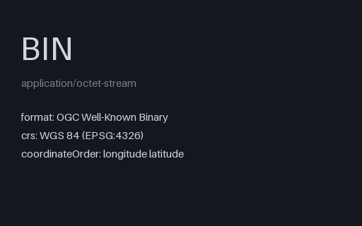
- binWKB — Raw Little-Endian PointTwenty-one raw bytes: a byte-order flag, a little-endian geometry-type code of 1, and two float64 ordinates. This is the wire format PostGIS, GeoPackage and most spatial drivers actually move geometry in.
- wktWKT — GEOMETRYCOLLECTIONA single WKT value for a point, a line and a polygon in one value. WKT nests with bare parentheses and no type tags on the inner parts, so the number and depth of brackets is the only thing that distinguishes a polygon ring from a multipolygon member — which is where hand-written parsers go wrong.
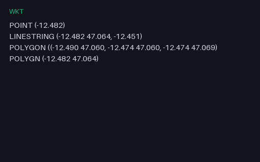
- wktWKT — Intentionally Invalid: Four Malformed ValuesIntentionally invalid: four WKT strings that each break in a different way — a point with one ordinate, a line whose last vertex is ragged, a polygon missing a closing bracket, and a misspelled keyword. Good parsers report which line and which character failed.
Generated by generation/geospatial.py. Free for any use, no attribution required — license.