
WKB — Hex Strings in Both Byte Orders
The same point encoded both ways, plus a polygon, as uppercase hex — the form WKB takes when it travels through a text column or a SQL console. The byte-order flag is the first byte of each string, so the two point encodings differ everywhere after it.
POINT little-endian	0101000000105839B4C8F628C0D578E92631884740
POINT big-endian	0000000001C028F6C8B43958104047883126E978D5
POLYGON little-endian	010300000001000000050000007B14AE47E1FA28C048E17A14AE874740A69BC420B0F228C048E17A14AE874740A69BC420B0F228C046B6F3FDD48847407B14AE47E1FA28C046B6F3FDD48847407B14AE47E1FA28C048E17A14AE874740
Specifications
- Format
- WKB as hexadecimal text
- Crs
- WGS 84 (EPSG:4326)
- Coordinate Order
- longitude latitude
- Encoding
- ASCII
- Line Endings
- LF
- Coordinate Precision
- 6
- Records
- 3
- Byte Orders
- little-endian (0x01) and big-endian (0x00)
- Delimiter
- tab
- Case
- upper
Testing contract
Expected to pass- Scenario
- Decode both point strings and compare the resulting coordinates.
- Expected result
- Both decode to the identical point despite completely different byte sequences; a parser that ignores the leading order flag produces nonsense for the big-endian one.
What is a .txt file?
TXT is a plain-text file containing unformatted character data with no styling or structure beyond line breaks. Its interpretation depends on character encoding, most commonly UTF-8, and on line-ending convention. It is the most universal and portable text container.
How to use this file
Use an example TXT to test encoding detection, line-ending (LF versus CRLF) handling, and any tool that reads or streams raw text input.
How to use this file for testing
“WKB — Hex Strings in Both Byte Orders” is a deterministic Novus Examples fixture for Geospatial, Serialization testing, Encoding detection. GeoJSON, GPX, and KML files with points, lines, polygons, and tracks — for testing map tools, route parsers, and geo importers.
Documented properties for this file: 3 records · ASCII · LF. Compare results against paired or grouped companions on this page when present (clean↔damaged, searchable↔scanned, or format twins) so scores stay reproducible across runs.
Download the file once, keep the path stable in CI or local scripts, and treat the spec table as the contract: dimensions, seeds, field lists, and roles are intentional. Corrupt or invalid samples are labelled as such — expect parsers to fail loudly rather than silently accept them.
Geospatial fixtures publish one invented territory across formats, with the coordinate reference system and feature counts documented in specs. Convert or reproject and diff against the twin in the same group; edge-case geometries state exactly which assumption they are built to break.
Related files
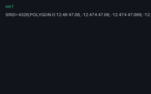
- wktEWKT — PostGIS Extended WKT With an SRID PrefixPostGIS's extended WKT, which prefixes the geometry with `SRID=4326;`. It is not part of the OGC standard, so a strict WKT parser rejects the whole string — while a PostGIS-aware one gets the coordinate system for free.
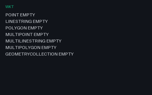
- wktWKT — All Seven EMPTY Geometry FormsOne EMPTY value for each WKT geometry type, one per line. Empty geometries are what spatial operations return when nothing is left, and round-tripping them is where a database driver usually turns a typed empty into a plain NULL.
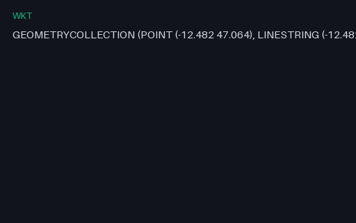
- wktWKT — GEOMETRYCOLLECTIONA single WKT value for a point, a line and a polygon in one value. WKT nests with bare parentheses and no type tags on the inner parts, so the number and depth of brackets is the only thing that distinguishes a polygon ring from a multipolygon member — which is where hand-written parsers go wrong.
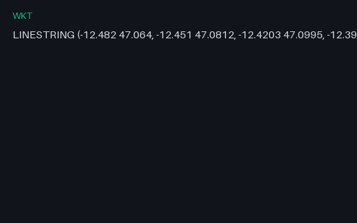
- wktWKT — LINESTRINGA single WKT value for the four-vertex Coast Road. WKT nests with bare parentheses and no type tags on the inner parts, so the number and depth of brackets is the only thing that distinguishes a polygon ring from a multipolygon member — which is where hand-written parsers go wrong.
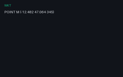
- wktWKT — M (measured) GeometryA point with an M (measure) ordinate rather than a Z. Written without the tag this is indistinguishable from a Z geometry, and a parser that assumes the third ordinate is elevation silently converts a 345-second measure into a 345-metre altitude.
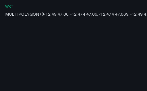
- wktWKT — MULTIPOLYGONA single WKT value for all three parcels in one geometry. WKT nests with bare parentheses and no type tags on the inner parts, so the number and depth of brackets is the only thing that distinguishes a polygon ring from a multipolygon member — which is where hand-written parsers go wrong.
Generated by generation/geospatial.py. Free for any use, no attribution required — license.