Skip to content
Novus Examples

Explore the test library

Search files, editable visual templates, and live browser targets from one registry-backed directory. Filtered query views stay crawlable for links but are deliberately noindex; the stable taxonomy pages below remain the canonical search surfaces.

158 results

Page 3 of 7; 24 results per page.

Show the canonical directory
Preview of GeoJSON — String Feature Identifiers
geojson
1.5 KB
Actual file preview for GeoJSON — String Feature Identifiers

GeoJSON — String Feature Identifiers

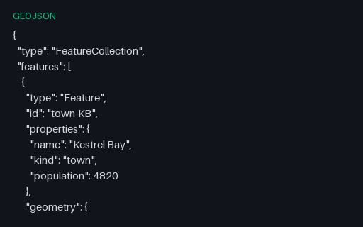
Five features whose `id` is a string and sits on the Feature itself rather than inside `properties` — the placement RFC 7946 specifies and the one most CSV-shaped importers get wrong by flattening it into an attribute.

File
GEOJSON · Geojson · UTF-8
Use case
GeospatialJSON parsing+1· Conversion set
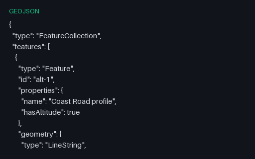
Preview of GeoJSON — Three-Element Positions With Altitude
geojson
638 B
Actual file preview for GeoJSON — Three-Element Positions With Altitude

GeoJSON — Three-Element Positions With Altitude

Four positions with a third element, which RFC 7946 defines as height in metres above the WGS 84 ellipsoid. Two-dimensional pipelines commonly truncate the third element without saying so, and this file is what proves whether yours does.

File
GEOJSON · Geojson Edge Cases · UTF-8
Use case
GeospatialJSON parsing+1· Conversion set
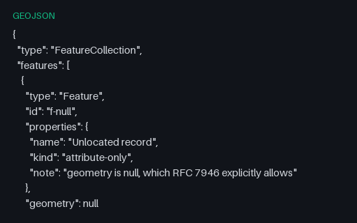
Preview of GeoJSON Feature — Null Geometry
geojson
579 B
Actual file preview for GeoJSON Feature — Null Geometry

GeoJSON Feature — Null Geometry

RFC 7946 permits `"geometry": null` for a feature with attributes but no location. Readers that assume every feature has coordinates crash here, and writers that emit an empty Point instead corrupt the record's meaning.

File
GEOJSON · Geojson · UTF-8
Use case
GeospatialJSON parsing+1· Conversion set
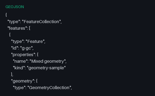
Preview of GeoJSON Geometry — GeometryCollection
geojson
1.3 KB
Actual file preview for GeoJSON Geometry — GeometryCollection

GeoJSON Geometry — GeometryCollection

A single Feature whose geometry is a GeometryCollection of a Point, a LineString and a Polygon. Many simple readers flatten or silently drop these, and many writers cannot produce them at all, so it is the usual place a conversion loses data.

File
GEOJSON · Geojson · UTF-8
Use case
GeospatialJSON parsing+1· Conversion set
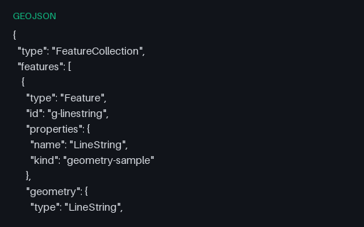
Preview of GeoJSON Geometry — LineString
geojson
571 B
Actual file preview for GeoJSON Geometry — LineString

GeoJSON Geometry — LineString

A one-feature FeatureCollection holding the four-vertex Coast Road, so a reader can be exercised on LineString in isolation. Coordinates come from the Kestrel Bay territory, so the same shape appears again in every other format in this category.

File
GEOJSON · Geojson · UTF-8
Use case
GeospatialJSON parsing+1· Conversion set
Preview of GeoJSON Geometry — MultiLineString
geojson
1.1 KB
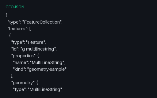
Actual file preview for GeoJSON Geometry — MultiLineString

GeoJSON Geometry — MultiLineString

A one-feature FeatureCollection holding all three roads as one geometry, so a reader can be exercised on MultiLineString in isolation. Coordinates come from the Kestrel Bay territory, so the same shape appears again in every other format in this category.

File
GEOJSON · Geojson · UTF-8
Use case
GeospatialJSON parsing+1· Conversion set
Preview of GeoJSON Geometry — MultiPoint
geojson
508 B
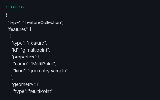
Actual file preview for GeoJSON Geometry — MultiPoint

GeoJSON Geometry — MultiPoint

A one-feature FeatureCollection holding three harbour buoys, so a reader can be exercised on MultiPoint in isolation. Coordinates come from the Kestrel Bay territory, so the same shape appears again in every other format in this category.

File
GEOJSON · Geojson · UTF-8
Use case
GeospatialJSON parsing+1· Conversion set
Preview of GeoJSON Geometry — MultiPolygon
geojson
2 KB
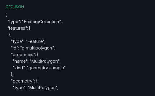
Actual file preview for GeoJSON Geometry — MultiPolygon

GeoJSON Geometry — MultiPolygon

A one-feature FeatureCollection holding the three parcels as one geometry, so a reader can be exercised on MultiPolygon in isolation. Coordinates come from the Kestrel Bay territory, so the same shape appears again in every other format in this category.

File
GEOJSON · Geojson · UTF-8
Use case
GeospatialJSON parsing+1· Conversion set
Preview of GeoJSON Geometry — Point
geojson
329 B
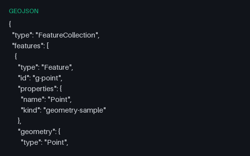
Actual file preview for GeoJSON Geometry — Point

GeoJSON Geometry — Point

A one-feature FeatureCollection holding a single position, so a reader can be exercised on Point in isolation. Coordinates come from the Kestrel Bay territory, so the same shape appears again in every other format in this category.

File
GEOJSON · Geojson · UTF-8
Use case
GeospatialJSON parsing+1· Conversion set
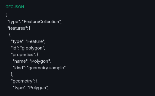
Preview of GeoJSON Geometry — Polygon
geojson
681 B
Actual file preview for GeoJSON Geometry — Polygon

GeoJSON Geometry — Polygon

A one-feature FeatureCollection holding a simple four-corner parcel, so a reader can be exercised on Polygon in isolation. Coordinates come from the Kestrel Bay territory, so the same shape appears again in every other format in this category.

File
GEOJSON · Geojson · UTF-8
Use case
GeospatialJSON parsing+1· Conversion set
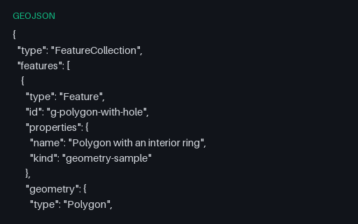
Preview of GeoJSON Geometry — Polygon with an interior ring
geojson
1.1 KB
Actual file preview for GeoJSON Geometry — Polygon with an interior ring

GeoJSON Geometry — Polygon with an interior ring

A one-feature FeatureCollection holding a parcel with a courtyard cut out of it, so a reader can be exercised on Polygon in isolation. Coordinates come from the Kestrel Bay territory, so the same shape appears again in every other format in this category.

File
GEOJSON · Geojson · UTF-8
Use case
GeospatialJSON parsing+1· Conversion set
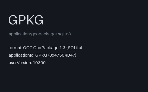
Preview of GeoPackage — Aspatial Attributes Table (no geometry column)
gpkg
36 KB
Actual file preview for GeoPackage — Aspatial Attributes Table (no geometry column)

GeoPackage — Aspatial Attributes Table (no geometry column)

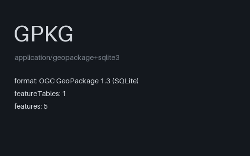
A GeoPackage holding an `attributes` table with no geometry at all — the standard's own answer to a lookup table you want to ship alongside your layers. Its gpkg_contents row has null bounds and a null SRS, which is what readers that assume every row is spatial trip over.

File
GPKG · Geopackage · 10 rows
Use case
GeospatialData import+1· Conversion set
Preview of GeoPackage — Features Stored in Web Mercator (EPSG:3857)
gpkg
36 KB
Actual file preview for GeoPackage — Features Stored in Web Mercator (EPSG:3857)

GeoPackage — Features Stored in Web Mercator (EPSG:3857)

The same five towns stored as projected metres rather than degrees, with EPSG:3857 registered in gpkg_spatial_ref_sys and stamped into every geometry blob's header. Unlike GeoJSON, GeoPackage genuinely supports this — so it is the clean way to test that your reader honours the declared SRS instead of assuming 4326.

File
GPKG · Geopackage
Use case
GeospatialConversion testing+1· Conversion set
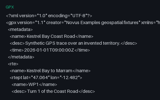
Preview of GeoPackage — Three Feature Layers in One SQLite Container
gpkg
44 KB
Actual file preview for GeoPackage — Three Feature Layers in One SQLite Container

GeoPackage — Three Feature Layers in One SQLite Container

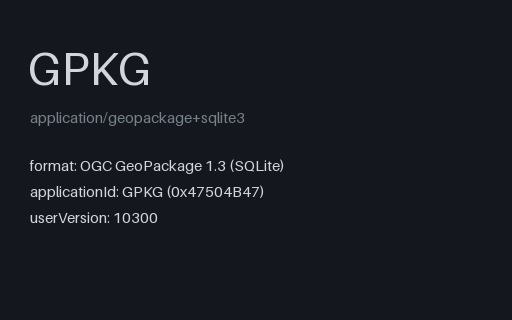
The territory as an OGC GeoPackage: an ordinary SQLite database with the three required metadata tables and three feature layers whose geometry columns hold GeoPackage binary blobs. Unlike a shapefile it carries several geometry types, long column names and real typed columns in one file.

File
GPKG · Geopackage
Use case
GeospatialConversion testing+1· Conversion set
Preview of GML 2.1 — Legacy gml:coordinates With Custom Separators
gml
1.5 KB
Actual file preview for GML 2.1 — Legacy gml:coordinates With Custom Separators

GML 2.1 — Legacy gml:coordinates With Custom Separators

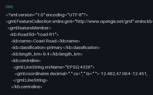
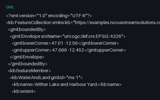
GML 2.1 packed coordinates into a single `gml:coordinates` string whose decimal, coordinate and tuple separators are all declared as attributes and can be anything. GML 3 replaced it with `gml:posList`, but WFS 1.0 servers still emit this, and a parser that assumes the default separators mis-reads any file that changes them.

File
GML · Gml Osm · UTF-8
Use case
GeospatialConversion testing+1· Conversion set
Preview of GML 3.2 — CRS84 srsName (longitude first)
gml
1.8 KB
Actual file preview for GML 3.2 — CRS84 srsName (longitude first)

GML 3.2 — CRS84 srsName (longitude first)

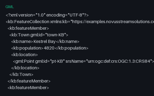
The same five towns as the territory GML twin, but declared with the CRS84 URN instead of the EPSG one — which flips the axis order to longitude first. The two files are otherwise identical in structure, so together they isolate axis-order handling from everything else.

File
GML · Gml Osm · UTF-8
Use case
GeospatialConversion testing+1· Conversion set
Preview of GML 3.2 — MultiSurface With an Interior Ring
gml
1.6 KB
Actual file preview for GML 3.2 — MultiSurface With an Interior Ring

GML 3.2 — MultiSurface With an Interior Ring

GML calls a multipolygon a MultiSurface and its parts surfaceMembers, and nests exterior and interior rings under named elements rather than relying on ring order. This feature holds the holed lake and a solid parcel in one geometry, which is the shape a WFS response usually takes.

File
GML · Gml Osm · UTF-8
Use case
GeospatialConversion testing+1· Conversion set
Preview of GPX — Garmin TrackPointExtension (heart rate, cadence, temperature)
gpx
3.9 KB
Actual file preview for GPX — Garmin TrackPointExtension (heart rate, cadence, temperature)

GPX — Garmin TrackPointExtension (heart rate, cadence, temperature)

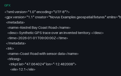
Eight trackpoints each carrying a Garmin TrackPointExtension with heart rate, cadence and air temperature. The GPX schema deliberately leaves `extensions` open, so this is the fixture for checking that a reader surfaces vendor data instead of discarding it on export.

File
GPX · Gpx · UTF-8
Use case
GeospatialMetadata testing+1· Conversion set
Preview of GPX — Out-of-Order and Duplicated Timestamps
gpx
1.3 KB
Actual file preview for GPX — Out-of-Order and Duplicated Timestamps

GPX — Out-of-Order and Duplicated Timestamps

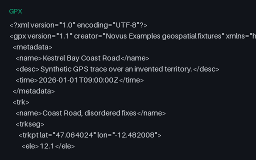
Seven trackpoints whose timestamps go forwards, backwards, and then repeat — the pattern a receiver produces after a clock correction or a buffered replay. Naive speed calculations divide by a negative or zero time delta and emit impossible values.

File
GPX · Gpx · UTF-8
Use case
GeospatialError handling+1· Conversion set
Preview of GPX — Route (rte) Rather Than a Track
gpx
859 B
Actual file preview for GPX — Route (rte) Rather Than a Track

GPX — Route (rte) Rather Than a Track

A `rte` element: an ordered list of waypoints describing a planned route, with no timestamps because it has not been travelled yet. Many importers only look for `trk` and report this perfectly valid file as empty.

File
GPX · Gpx · UTF-8
Use case
GeospatialConversion testing+1· Conversion set
Preview of GPX — Single-Segment Track (24 points)
gpx
3.4 KB
Actual file preview for GPX — Single-Segment Track (24 points)

GPX — Single-Segment Track (24 points)

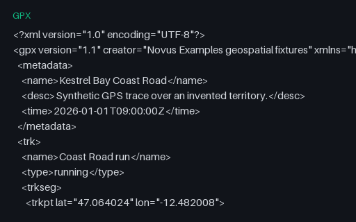
The baseline GPS trace for this category: 24 timestamped, elevated trackpoints in a single segment, walking the Coast Road of the invented territory. Every other GPX fixture here is this file with one thing changed.

File
GPX · Gpx · UTF-8
Use case
GeospatialTime-series data+1· Conversion set
Preview of GPX — Standalone Waypoints Only
gpx
1016 B
Actual file preview for GPX — Standalone Waypoints Only

GPX — Standalone Waypoints Only

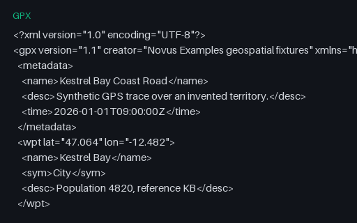
Five `wpt` elements for the towns of the territory, with names, symbols and descriptions but no track or route. It is the GPX equivalent of a point layer, and the third of the three top-level GPX content types.

File
GPX · Gpx · UTF-8
Use case
GeospatialConversion testing+1· Conversion set
Preview of GPX — Timestamps With a UTC Offset Instead of Z
gpx
1.4 KB
Actual file preview for GPX — Timestamps With a UTC Offset Instead of Z

GPX — Timestamps With a UTC Offset Instead of Z

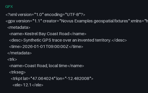
The same eight points timestamped with a +01:00 offset rather than the usual Z. The digits are identical to the reference track, so a parser that strips the offset and assumes UTC produces times that are wrong by exactly one hour — a silent error that only shows up when two traces are merged.

File
GPX · Gpx · UTF-8
Use case
GeospatialTime-series data+1· Conversion set
Preview of GPX — Track Split Into Two Segments by a Pause
gpx
3.4 KB
Actual file preview for GPX — Track Split Into Two Segments by a Pause

GPX — Track Split Into Two Segments by a Pause

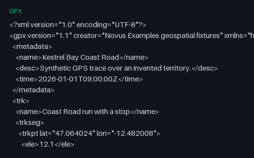
The same 24 points split into two `trkseg` elements with a ten-minute gap between them — what a receiver writes after a stop or a signal loss. Tools that concatenate segments without noticing the boundary report a moving average dragged down by a pause that never happened on the move.

File
GPX · Gpx · UTF-8
Use case
GeospatialTime-series data+1· Conversion set