
NMEA 0183 — LF Line Endings Instead of CRLF
The same sentences terminated with a bare LF rather than the CR LF the standard mandates — what you get after a log passes through a text editor or a Unix pipeline. Parsers that strip only "\r\n" leave a stray character on every line and then fail the checksum.
$GPGGA,120000.00,4703.8414,N,01228.9205,W,1,08,0.9,12.1,M,49.0,M,,*4D
$GPRMC,120000.00,A,4703.8414,N,01228.9205,W,3.20,41.0,010126,,,A*41
$GPGSA,A,3,03,07,11,18,22,25,29,31,,,,,1.8,0.9,1.5*35
$GPVTG,41.0,T,,M,3.20,N,5.93,K,A*36
$GPGSV,3,1,11,03,72,132,42,07,45,215,39,11,33,058,35,18,25,301,31*74
$GPGSV,3,2,11,22,64,275,44,25,18,142,28,29,52,047,40,31,11,320,22*71
$GPGSV,3,3,11,08,07,198,19,,,,,,,,*4E
$GPGGA,120015.00,4703.9709,N,01228.6852,W,1,08,0.9,18.9,M,49.0,M,,*42
$GPRMC,120015.00,A,4703.9709,N,01228.6852,W,3.25,41.4,010126,,,A*4D
$GPGSA,A,3,03,07,11,18,22,25,29,31,,,,,1.8,0.9,1.5*35
$GPVTG,41.4,T,,M,3.25,N,6.02,K,A*3C
$GPGGA,120030.00,4704.0978,N,01228.4512,W,1,08,0.9,24.8,M,49.0,M,,*46
$GPRMC,120030.00,A,4704.0978,N,01228.4512,W,3.30,41.8,010126,,,A*4F
$GPGSA,A,3,03,07,11,18,22,25,29,31,,,,,1.8,0.9,1.5*35
$GPVTG,41.8,T,,M,3.30,N,6.11,K,A*36
$GPGGA,120045.00,4704.2323,N,01228.2161,W,1,08,0.9,30.5,M,49.0,M,,*4C
Specifications
- Format
- NMEA 0183
- Talker
- GP (GPS)
- Crs
- WGS 84 (EPSG:4326)
- Encoding
- ASCII
- Checksum Algorithm
- XOR of bytes between $ and *
- Date
- 2026-01-01
- Seed
- 20260807
- Sentences
- 16
- Line Endings
- LF (the standard requires CRLF)
- All Checksums Valid
- true
- Defect
- line terminator does not match NMEA 0183, which mandates CR LF
Testing contract
Expected to recover- Scenario
- Parse the log with a reader that expects CR LF terminators.
- Expected result
- All 16 sentences still verify because the checksum covers only the bytes between $ and *; a reader that assumes CR LF must tolerate the bare LF rather than failing every line.
What is a .nmea file?
An .nmea file is a log of NMEA 0183 sentences, the ASCII protocol GPS and marine electronics use. Each line begins with `$` and a five-character talker-and-type identifier such as GPGGA, GPRMC, or GPGSV, carries comma-separated fields, and ends with `*` and a two-digit XOR checksum. Positions are encoded as degrees-and-decimal-minutes with a separate hemisphere field, not as decimal degrees.
How to use this file
Use an example .nmea file to test GPS log parsers and track converters, verifying checksum validation, correct degrees-minutes-to-decimal conversion, and sensible handling of sentences emitted before a fix is acquired.
How to use this file for testing
“NMEA 0183 — LF Line Endings Instead of CRLF” is a deterministic Novus Examples fixture for Geospatial, Error handling, Encoding detection. GeoJSON, GPX, and KML files with points, lines, polygons, and tracks — for testing map tools, route parsers, and geo importers.
Documented properties for this file: seed 20260807 · ASCII · LF (the standard requires CRLF). Compare results against paired or grouped companions on this page when present (clean↔damaged, searchable↔scanned, or format twins) so scores stay reproducible across runs.
Download the file once, keep the path stable in CI or local scripts, and treat the spec table as the contract: dimensions, seeds, field lists, and roles are intentional. Corrupt or invalid samples are labelled as such — expect parsers to fail loudly rather than silently accept them.
Geospatial fixtures publish one invented territory across formats, with the coordinate reference system and feature counts documented in specs. Convert or reproject and diff against the twin in the same group; edge-case geometries state exactly which assumption they are built to break.
Related files
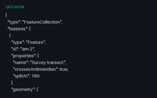
- geojsonGeoJSON — Antimeridian Line Split per RFC 7946The same transect cut at the 180th meridian into a two-part MultiLineString, which is what RFC 7946 section 3.1.9 recommends. The split latitude is the linear interpolation of the unsplit twin, so the two files describe the same ground path.
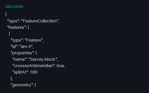
- geojsonGeoJSON — Antimeridian Polygon Split into a MultiPolygonThe straddling block cut at 180 into two polygons that share an edge on the meridian — the interoperable form. Use it as the expected output when testing an antimeridian-splitting routine against the unsplit twin.
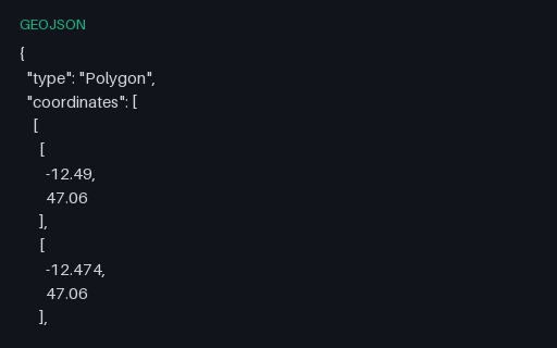
- geojsonGeoJSON — Bare Geometry Object (no Feature)A top-level Geometry object with no Feature or FeatureCollection around it. This is legal GeoJSON and is what PostGIS `ST_AsGeoJSON` returns, but a surprising number of importers only accept a FeatureCollection.
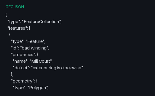
- geojsonGeoJSON — Clockwise Exterior Ring (right-hand rule violated)Both rings of the Mill Court parcel are wound the wrong way round: the exterior clockwise, the interior counter-clockwise. RFC 7946 mandates the right-hand rule, and consumers that rely on winding to tell holes from shells will read this polygon inside out.
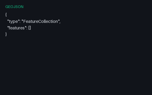
- geojsonGeoJSON — Empty FeatureCollectionA structurally valid FeatureCollection with an empty `features` array — what a spatial query legitimately returns when nothing matches. It is the standard fixture for the empty-state path of a map component.
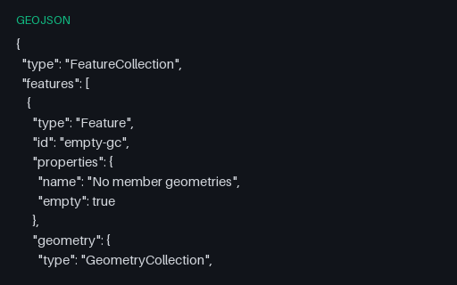
- geojsonGeoJSON — Empty GeometryCollectionA GeometryCollection with an empty `geometries` array — structurally valid, semantically the empty geometry. Converters that map a collection onto a multi-geometry type usually emit null here, quietly changing the record's meaning.
Generated by generation/geospatial.py. Free for any use, no attribution required — license.