
NMEA 0183 — GGA Sentences Only
The same twelve fixes reduced to GGA alone. GGA carries time-of-day but no date and no speed, so a parser that only reads GGA cannot place the track on a calendar — a real limitation that this file makes obvious rather than leaving to be discovered later.
$GPGGA,120000.00,4703.8414,N,01228.9205,W,1,08,0.9,12.1,M,49.0,M,,*4D
$GPGGA,120015.00,4703.9709,N,01228.6852,W,1,08,0.9,18.9,M,49.0,M,,*42
$GPGGA,120030.00,4704.0978,N,01228.4512,W,1,08,0.9,24.8,M,49.0,M,,*46
$GPGGA,120045.00,4704.2323,N,01228.2161,W,1,08,0.9,30.5,M,49.0,M,,*4C
$GPGGA,120100.00,4704.3588,N,01227.9857,W,1,08,0.9,36.7,M,49.0,M,,*46
$GPGGA,120115.00,4704.4911,N,01227.7493,W,1,08,0.9,41.5,M,49.0,M,,*41
$GPGGA,120130.00,4704.6222,N,01227.5152,W,1,08,0.9,46.1,M,49.0,M,,*46
$GPGGA,120145.00,4704.7483,N,01227.2808,W,1,08,0.9,49.4,M,49.0,M,,*43
$GPGGA,120200.00,4704.8790,N,01227.0474,W,1,08,0.9,53.1,M,49.0,M,,*44
$GPGGA,120215.00,4705.0135,N,01226.8165,W,1,08,0.9,56.3,M,49.0,M,,*4B
$GPGGA,120230.00,4705.1541,N,01226.5888,W,1,08,0.9,57.9,M,49.0,M,,*46
$GPGGA,120245.00,4705.2883,N,01226.3579,W,1,08,0.9,58.0,M,49.0,M,,*47
Specifications
- Format
- NMEA 0183
- Talker
- GP (GPS)
- Crs
- WGS 84 (EPSG:4326)
- Encoding
- ASCII
- Checksum Algorithm
- XOR of bytes between $ and *
- Date
- 2026-01-01
- Seed
- 20260807
- Sentences
- 12
- Sentence Types
- GGA
- Fix Quality
- 1
- Has Speed
- false
- Has Date
- false
- Line Endings
- CRLF (per NMEA 0183)
- All Checksums Valid
- true
Testing contract
Expected to pass- Scenario
- Parse the log and try to produce absolute timestamps for each fix.
- Expected result
- Positions and altitudes are recovered, but the date is unavailable from GGA alone and the parser says so instead of assuming today.
What is a .nmea file?
An .nmea file is a log of NMEA 0183 sentences, the ASCII protocol GPS and marine electronics use. Each line begins with `$` and a five-character talker-and-type identifier such as GPGGA, GPRMC, or GPGSV, carries comma-separated fields, and ends with `*` and a two-digit XOR checksum. Positions are encoded as degrees-and-decimal-minutes with a separate hemisphere field, not as decimal degrees.
How to use this file
Use an example .nmea file to test GPS log parsers and track converters, verifying checksum validation, correct degrees-minutes-to-decimal conversion, and sensible handling of sentences emitted before a fix is acquired.
How to use this file for testing
“NMEA 0183 — GGA Sentences Only” is a deterministic Novus Examples fixture for Geospatial, Time-series data, Data import. GeoJSON, GPX, and KML files with points, lines, polygons, and tracks — for testing map tools, route parsers, and geo importers.
Documented properties for this file: seed 20260807 · ASCII · CRLF (per NMEA 0183). Compare results against paired or grouped companions on this page when present (clean↔damaged, searchable↔scanned, or format twins) so scores stay reproducible across runs.
Download the file once, keep the path stable in CI or local scripts, and treat the spec table as the contract: dimensions, seeds, field lists, and roles are intentional. Corrupt or invalid samples are labelled as such — expect parsers to fail loudly rather than silently accept them.
Geospatial fixtures publish one invented territory across formats, with the coordinate reference system and feature counts documented in specs. Convert or reproject and diff against the twin in the same group; edge-case geometries state exactly which assumption they are built to break.
Related files
- gpkgGeoPackage — Aspatial Attributes Table (no geometry column)A GeoPackage holding an `attributes` table with no geometry at all — the standard's own answer to a lookup table you want to ship alongside your layers. Its gpkg_contents row has null bounds and a null SRS, which is what readers that assume every row is spatial trip over.
- gpkgGeoPackage — Three Feature Layers in One SQLite ContainerThe territory as an OGC GeoPackage: an ordinary SQLite database with the three required metadata tables and three feature layers whose geometry columns hold GeoPackage binary blobs. Unlike a shapefile it carries several geometry types, long column names and real typed columns in one file.
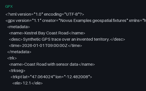
- gpxGPX — Garmin TrackPointExtension (heart rate, cadence, temperature)Eight trackpoints each carrying a Garmin TrackPointExtension with heart rate, cadence and air temperature. The GPX schema deliberately leaves `extensions` open, so this is the fixture for checking that a reader surfaces vendor data instead of discarding it on export.
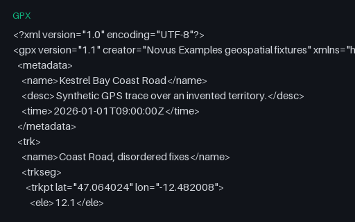
- gpxGPX — Out-of-Order and Duplicated TimestampsSeven trackpoints whose timestamps go forwards, backwards, and then repeat — the pattern a receiver produces after a clock correction or a buffered replay. Naive speed calculations divide by a negative or zero time delta and emit impossible values.
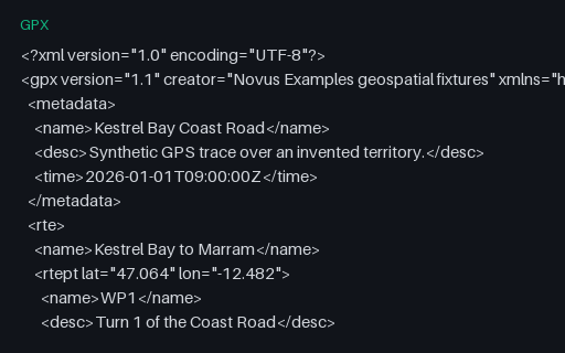
- gpxGPX — Route (rte) Rather Than a TrackA `rte` element: an ordered list of waypoints describing a planned route, with no timestamps because it has not been travelled yet. Many importers only look for `trk` and report this perfectly valid file as empty.
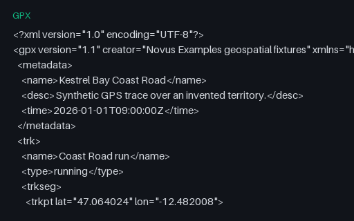
- gpxGPX — Single-Segment Track (24 points)The baseline GPS trace for this category: 24 timestamped, elevated trackpoints in a single segment, walking the Coast Road of the invented territory. Every other GPX fixture here is this file with one thing changed.
Generated by generation/geospatial.py. Free for any use, no attribution required — license.