Skip to content
Novus Examples

Explore the test library

Search files, editable visual templates, and live browser targets from one registry-backed directory. Filtered query views stay crawlable for links but are deliberately noindex; the stable taxonomy pages below remain the canonical search surfaces.

158 results

Page 2 of 7; 24 results per page.

Show the canonical directory
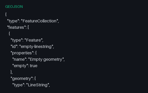
Preview of GeoJSON — Empty LineString Geometry
geojson
295 B
Actual file preview for GeoJSON — Empty LineString Geometry

GeoJSON — Empty LineString Geometry

A feature carrying a LineString with an empty coordinate array. Empty geometries are what spatial operations legitimately return — an intersection that misses, a clip that removes everything — and index and rendering code routinely assumes at least one coordinate exists.

File
GEOJSON · Geojson Edge Cases · UTF-8
Use case
GeospatialError handling+1· Conversion set
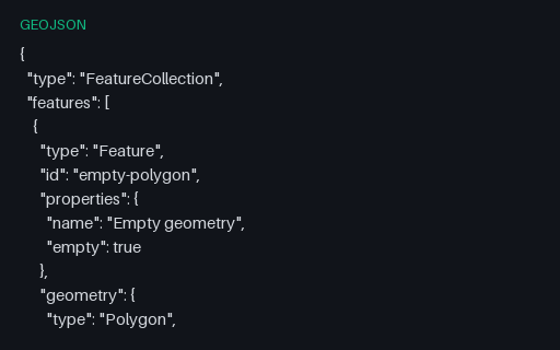
Preview of GeoJSON — Empty Polygon Geometry
geojson
289 B
Actual file preview for GeoJSON — Empty Polygon Geometry

GeoJSON — Empty Polygon Geometry

A feature carrying a Polygon with no rings at all. Empty geometries are what spatial operations legitimately return — an intersection that misses, a clip that removes everything — and index and rendering code routinely assumes at least one coordinate exists.

File
GEOJSON · Geojson Edge Cases · UTF-8
Use case
GeospatialError handling+1· Conversion set
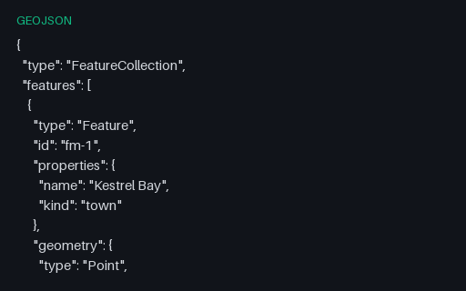
Preview of GeoJSON — Foreign Members at Every Level
geojson
420 B
Actual file preview for GeoJSON — Foreign Members at Every Level

GeoJSON — Foreign Members at Every Level

RFC 7946 section 6 allows members it does not define to sit alongside the ones it does, and requires parsers to ignore rather than reject them. This collection carries three such members at the top level.

File
GEOJSON · Geojson · UTF-8
Use case
GeospatialJSON parsing+1· Conversion set
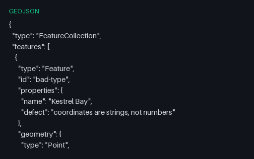
Preview of GeoJSON — Intentionally Invalid: Coordinates as JSON Strings
geojson
363 B
Actual file preview for GeoJSON — Intentionally Invalid: Coordinates as JSON Strings

GeoJSON — Intentionally Invalid: Coordinates as JSON Strings

Intentionally invalid: the file is perfectly good JSON but the coordinates are quoted strings, which RFC 7946 does not allow. It is exactly what a CSV-to-GeoJSON script produces when it forgets to cast, and a permissive reader will coerce it and hide the bug.

File
GEOJSON · Geojson Edge Cases · UTF-8
Use case
GeospatialError handling+1· Conversion set
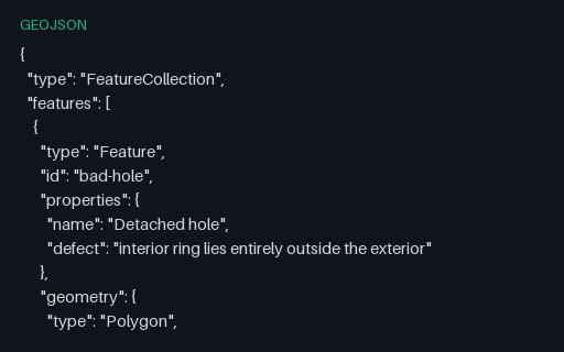
Preview of GeoJSON — Intentionally Invalid: Hole Outside Its Shell
geojson
1.1 KB
Actual file preview for GeoJSON — Intentionally Invalid: Hole Outside Its Shell

GeoJSON — Intentionally Invalid: Hole Outside Its Shell

Intentionally invalid: the second ring is a whole separate parcel filed as an interior ring of the first, which OGC Simple Features forbids. It is what happens when a MultiPolygon is flattened into a Polygon by concatenating rings.

File
GEOJSON · Geojson Edge Cases · UTF-8
Use case
GeospatialError handling+1· Conversion set
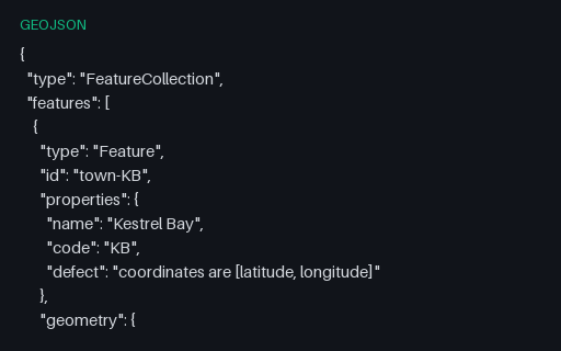
Preview of GeoJSON — Intentionally Invalid: Latitude Before Longitude
geojson
1.6 KB
Actual file preview for GeoJSON — Intentionally Invalid: Latitude Before Longitude

GeoJSON — Intentionally Invalid: Latitude Before Longitude

Intentionally invalid: the five towns with their coordinates written latitude-first. RFC 7946 fixes the order as longitude then latitude, and this is the mistake that arrives via an EPSG-URN-ordered source such as the GML twin in the territory subcategory.

File
GEOJSON · Crs
Use case
GeospatialError handling+1· Conversion set
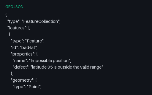
Preview of GeoJSON — Intentionally Invalid: Latitude Outside -90 to 90
geojson
366 B
Actual file preview for GeoJSON — Intentionally Invalid: Latitude Outside -90 to 90

GeoJSON — Intentionally Invalid: Latitude Outside -90 to 90

Intentionally invalid: latitude 95, five degrees past the north pole. This is the value that appears when longitude and latitude have been swapped somewhere upstream, so catching it early usually finds an axis-order bug rather than a data-entry one.

File
GEOJSON · Geojson Edge Cases · UTF-8
Use case
GeospatialError handling+1· Conversion set
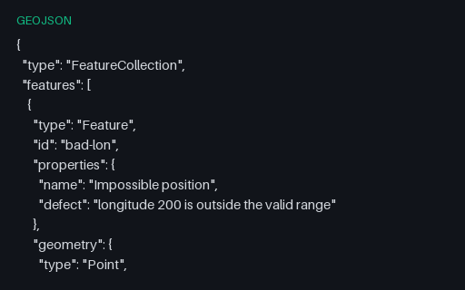
Preview of GeoJSON — Intentionally Invalid: Longitude Outside -180 to 180
geojson
368 B
Actual file preview for GeoJSON — Intentionally Invalid: Longitude Outside -180 to 180

GeoJSON — Intentionally Invalid: Longitude Outside -180 to 180

Intentionally invalid: a point at longitude 200. It is a plausible-looking number that usually comes from adding an offset without wrapping, and it survives JSON schema checks that only test for `number`.

File
GEOJSON · Geojson Edge Cases · UTF-8
Use case
GeospatialError handling+1· Conversion set
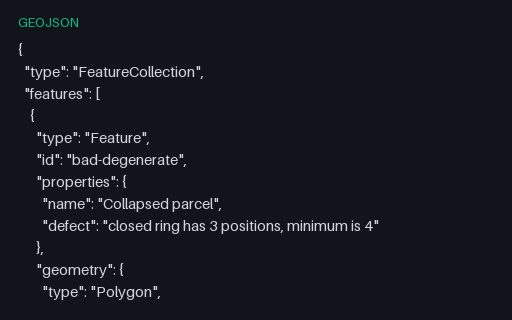
Preview of GeoJSON — Intentionally Invalid: Ring With Only Three Positions
geojson
578 B
Actual file preview for GeoJSON — Intentionally Invalid: Ring With Only Three Positions

GeoJSON — Intentionally Invalid: Ring With Only Three Positions

Intentionally invalid: a ring of three positions that closes back on itself and therefore encloses nothing. RFC 7946 requires at least four positions for a linear ring, and this is the shape a simplification pass produces when it over-thins a small polygon.

File
GEOJSON · Geojson Edge Cases · UTF-8
Use case
GeospatialError handling+1· Conversion set
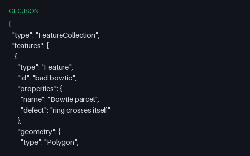
Preview of GeoJSON — Intentionally Invalid: Self-Intersecting Ring
geojson
694 B
Actual file preview for GeoJSON — Intentionally Invalid: Self-Intersecting Ring

GeoJSON — Intentionally Invalid: Self-Intersecting Ring

Intentionally invalid: a bowtie ring whose two lobes wind in opposite directions, so the shoelace areas nearly cancel. Buffer, intersection and area operations on this geometry return nonsense rather than failing, which is why it belongs in a validation suite.

File
GEOJSON · Geojson Edge Cases · UTF-8
Use case
GeospatialError handling+1· Conversion set
Preview of GeoJSON — Intentionally Invalid: Unclosed Polygon Ring
geojson
623 B
Actual file preview for GeoJSON — Intentionally Invalid: Unclosed Polygon Ring

GeoJSON — Intentionally Invalid: Unclosed Polygon Ring

Intentionally invalid: the parcel's exterior ring omits the repeated closing position that RFC 7946 requires. Many readers close it silently, which hides the producer's bug until a stricter consumer downstream rejects the data.

File
GEOJSON · Geojson Edge Cases · UTF-8
Use case
GeospatialError handling+1· Conversion set
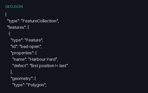
Preview of GeoJSON — Intentionally Invalid: Web Mercator Metres in a .geojson File
geojson
1.8 KB
Actual file preview for GeoJSON — Intentionally Invalid: Web Mercator Metres in a .geojson File

GeoJSON — Intentionally Invalid: Web Mercator Metres in a .geojson File

Intentionally invalid: Web Mercator metres inside a file that claims to be GeoJSON, with a legacy `crs` member as the only hint. RFC 7946 allows exactly one coordinate system, so this file is what a desktop GIS produces when someone exports a projected layer to GeoJSON without reprojecting it first.

File
GEOJSON · Crs
Use case
GeospatialError handling+1· Conversion set
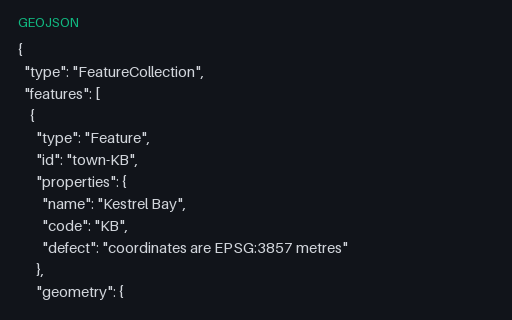
Preview of GeoJSON — Legacy 2008 `crs` Member (removed in RFC 7946)
geojson
1.8 KB
Actual file preview for GeoJSON — Legacy 2008 `crs` Member (removed in RFC 7946)

GeoJSON — Legacy 2008 `crs` Member (removed in RFC 7946)

A FeatureCollection carrying the `crs` member from the 2008 GeoJSON specification. RFC 7946 removed it and fixed the CRS as WGS 84, so a modern reader should treat this as an ignorable foreign member — but plenty of exporters still write it and some readers still obey it.

File
GEOJSON · Crs
Use case
GeospatialConversion testing+1· Conversion set
Preview of GeoJSON — LineString Crossing the Antimeridian (unsplit)
geojson
431 B
Actual file preview for GeoJSON — LineString Crossing the Antimeridian (unsplit)

GeoJSON — LineString Crossing the Antimeridian (unsplit)

A two-point line whose longitudes step from 179.6 to -179.7. Interpolating naively draws a 359.3-degree line all the way back around the world instead of the 0.7-degree hop across the 180th meridian — the classic antimeridian artefact.

File
GEOJSON · Geojson Edge Cases · UTF-8
Use case
GeospatialError handling+1· Conversion set
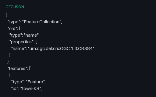
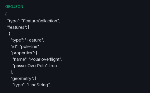
Preview of GeoJSON — LineString Passing Over the North Pole
geojson
496 B
Actual file preview for GeoJSON — LineString Passing Over the North Pole

GeoJSON — LineString Passing Over the North Pole

A flight path that goes up one meridian, touches the pole, and comes down the antipodal meridian — so longitude jumps by exactly 180 degrees at the middle vertex. Renderers that interpolate in longitude draw a horizontal streak across the whole map instead.

File
GEOJSON · Geojson Edge Cases · UTF-8
Use case
GeospatialError handling+1· Conversion set
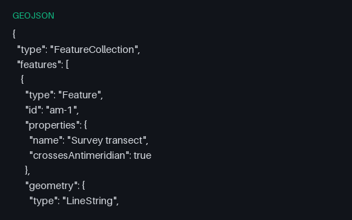
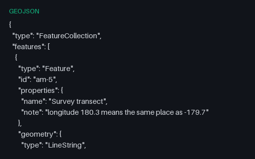
Preview of GeoJSON — Longitude Written Beyond 180
geojson
459 B
Actual file preview for GeoJSON — Longitude Written Beyond 180

GeoJSON — Longitude Written Beyond 180

The same transect with its eastern end written as 180.3 rather than the normalised -179.7. Producers that accumulate longitudes across the antimeridian emit this constantly; RFC 7946 restricts longitude to -180..180, so a strict reader must reject or normalise it.

File
GEOJSON · Geojson Edge Cases · UTF-8
Use case
GeospatialError handling+1· Conversion set
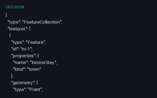
Preview of GeoJSON — Mixed-Geometry FeatureCollection
geojson
4.7 KB
Actual file preview for GeoJSON — Mixed-Geometry FeatureCollection

GeoJSON — Mixed-Geometry FeatureCollection

All seven RFC 7946 geometry types in a single FeatureCollection. Formats with a single-geometry-type-per-layer model — shapefile, most database tables — cannot hold this in one layer, so it is the fixture that reveals how a converter splits or refuses it.

File
GEOJSON · Geojson · UTF-8
Use case
GeospatialConversion testing+1· Conversion set
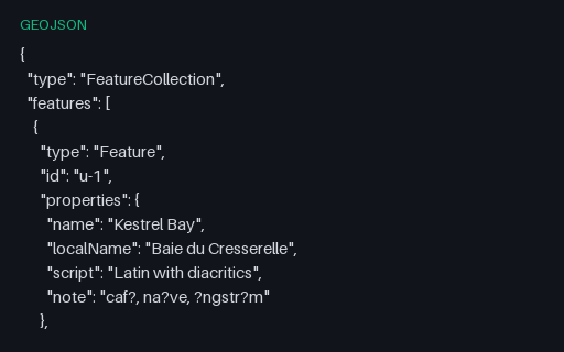
Preview of GeoJSON — Non-ASCII Property Values
geojson
1.5 KB
Actual file preview for GeoJSON — Non-ASCII Property Values

GeoJSON — Non-ASCII Property Values

Four features whose labels are written in Latin with diacritics, katakana, right-to-left Arabic, and a decomposed combining sequence — all stored as raw UTF-8 rather than \u escapes. Shapefile DBF export is where these usually turn into question marks.

File
GEOJSON · Geojson · UTF-8
Use case
GeospatialEncoding detection+1· Conversion set
Preview of GeoJSON — Null and Empty Property Bags
geojson
767 B
Actual file preview for GeoJSON — Null and Empty Property Bags

GeoJSON — Null and Empty Property Bags

One feature with `"properties": {}`, one with `"properties": null` and one fully populated. Both empty forms are legal, and attribute-table writers routinely fall over on the null form when they try to enumerate its keys.

File
GEOJSON · Geojson · UTF-8
Use case
GeospatialJSON parsing+1· Conversion set
Preview of GeoJSON — Numeric Feature Identifiers
geojson
1.4 KB
Actual file preview for GeoJSON — Numeric Feature Identifiers

GeoJSON — Numeric Feature Identifiers

The same five towns keyed by numeric ids. RFC 7946 allows an id to be either a string or a number, and code that assumes one type breaks on the other — usually by stringifying 1 into "1" and then failing to match on a later join.

File
GEOJSON · Geojson · UTF-8
Use case
GeospatialJSON parsing+1· Conversion set
Preview of GeoJSON — Points Exactly at the Poles
geojson
940 B
Actual file preview for GeoJSON — Points Exactly at the Poles

GeoJSON — Points Exactly at the Poles

Three points at exactly plus or minus 90 degrees latitude, two of which are the same physical place written with different longitudes. Web Mercator cannot represent either pole — latitude 90 projects to infinity — so this is the fixture that catches divide-by-zero and NaN in a reprojection path.

File
GEOJSON · Geojson Edge Cases · UTF-8
Use case
GeospatialError handling+1· Conversion set
Preview of GeoJSON — Polygon Enclosing the North Pole
geojson
884 B
Actual file preview for GeoJSON — Polygon Enclosing the North Pole

GeoJSON — Polygon Enclosing the North Pole

A ring that encloses the north pole by running along 85 N and closing across the top of the graticule. Planar area and centroid routines return meaningless answers here, and many renderers draw a rectangle rather than a cap.

File
GEOJSON · Geojson Edge Cases · UTF-8
Use case
GeospatialError handling+1· Conversion set
Preview of GeoJSON — Polygon Straddling the Antimeridian (unsplit)
geojson
676 B
Actual file preview for GeoJSON — Polygon Straddling the Antimeridian (unsplit)

GeoJSON — Polygon Straddling the Antimeridian (unsplit)

A rectangle whose east edge is at 179.7 W and west edge at 179.6 E. Read literally in planar coordinates it wraps the entire globe and inverts the inside/outside test, so point-in-polygon queries return the exact opposite of the truth.

File
GEOJSON · Geojson Edge Cases · UTF-8
Use case
GeospatialError handling+1· Conversion set
Preview of GeoJSON — Single Feature (no FeatureCollection)
geojson
232 B
Actual file preview for GeoJSON — Single Feature (no FeatureCollection)

GeoJSON — Single Feature (no FeatureCollection)

One Feature at the top level, with properties and an id but no enclosing collection — the shape a single-record API response takes. Pair it with the bare-geometry fixture to find readers that only handle one of the three legal root types.

File
GEOJSON · Geojson · UTF-8
Use case
GeospatialJSON parsing+1· Conversion set