
GeoJSON — Legacy 2008 `crs` Member (removed in RFC 7946)
A FeatureCollection carrying the `crs` member from the 2008 GeoJSON specification. RFC 7946 removed it and fixed the CRS as WGS 84, so a modern reader should treat this as an ignorable foreign member — but plenty of exporters still write it and some readers still obey it.
{
  "type": "FeatureCollection",
  "crs": {
    "type": "name",
    "properties": {
      "name": "urn:ogc:def:crs:OGC:1.3:CRS84"
    }
  },
  "features": [
    {
      "type": "Feature",
      "id": "town-KB",
      "properties": {
        "name": "Kestrel Bay",
        "code": "KB",
        "kind": "town",
        "population": 4820,
        "founded": 1786
      },
      "geometry": {
        "type": "Point",
        "coordinates": [
          -12.482,
          47.064
        ]
      }
    },
    {
      "type": "Feature",
      "id": "town-MR",
      "properties": {
        "name": "Marram",
        "code": "MR",
        "kind": "town",
        "population": 1180,
        "founded": 1834
      },
      "geometry": {
        "type": "Point",
        "coordinates": [
          -12.3915,
          47.112
        ]
      }
    },
    {
      "type": "Feature",
      "id": "town-HW",
      "properties": {
"name": "Holloway",Specifications
- Format
- GeoJSON 2008 style
- Features
- 5
- Crs Member
- urn:ogc:def:crs:OGC:1.3:CRS84
- Rfc7946 Status
- the crs member was removed; WGS 84 is assumed
- Valid
- true
- Note
- harmless here because CRS84 is what RFC 7946 mandates anyway
Testing contract
Expected to recover- Scenario
- Parse the document and check whether the crs member changes how coordinates are interpreted.
- Expected result
- The member is ignored or preserved as a foreign member; coordinates are read as WGS 84 either way, because CRS84 is exactly what RFC 7946 assumes.
What is a .geojson file?
GeoJSON is a JSON-based format for encoding geographic data structures such as points, lines, and polygons, along with their properties. It uses WGS84 longitude-latitude coordinates and standard feature and feature-collection objects. It is a common interchange format for web mapping and GIS.
How to use this file
Use an example GeoJSON file to test geometry parsing, coordinate handling, and mapping libraries or GIS pipelines that render or analyze spatial features.
How to use this file for testing
“GeoJSON — Legacy 2008 `crs` Member (removed in RFC 7946)” is a deterministic Novus Examples fixture for Geospatial, Conversion testing, Metadata testing. GeoJSON, GPX, and KML files with points, lines, polygons, and tracks — for testing map tools, route parsers, and geo importers.
Documented properties for this file: GeoJSON 2008 style. Compare results against paired or grouped companions on this page when present (clean↔damaged, searchable↔scanned, or format twins) so scores stay reproducible across runs.
Download the file once, keep the path stable in CI or local scripts, and treat the spec table as the contract: dimensions, seeds, field lists, and roles are intentional. Corrupt or invalid samples are labelled as such — expect parsers to fail loudly rather than silently accept them.
Geospatial fixtures publish one invented territory across formats, with the coordinate reference system and feature counts documented in specs. Convert or reproject and diff against the twin in the same group; edge-case geometries state exactly which assumption they are built to break.
Code examples
import geopandas as gpd

gdf = gpd.read_file("legacy-crs-member.geojson")
print(gdf.head())
print(gdf.crs)
Related files
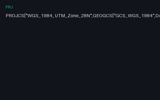
- prjPRJ — UTM Zone 28N (EPSG:32628) in WKT 1The UTM zone that actually contains the invented territory: zone 28N, central meridian 15 W. It is a definition fixture only — no projected coordinates are published for it here, because a transverse Mercator value is not something to take on trust from a fixture.
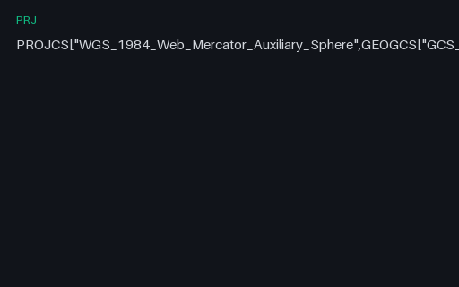
- prjPRJ — Web Mercator (EPSG:3857) in WKT 1The projection every web map uses, defined as Esri's Mercator_Auxiliary_Sphere. It treats the ellipsoid as a sphere for the projection maths while keeping ellipsoidal latitudes, which is why it is a pseudo-Mercator and why it cannot represent latitudes beyond about 85.05 degrees.
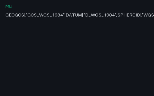
- prjPRJ — WGS 84 Geographic in WKT 1 (Esri flavour)The reference .prj for this category: WGS 84 geographic in Esri's WKT 1 dialect, which uses D_WGS_1984 and GCS_WGS_1984 in place of the OGC spellings and carries no AUTHORITY node. Everything else in this family is a variation on it.
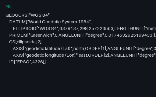
- prjPRJ — WGS 84 in WKT 2 (2019)The same CRS in WKT 2, which renames almost every keyword (GEOGCRS, ELLIPSOID, LENGTHUNIT) and — crucially — declares axis order explicitly with AXIS and ORDER. WKT 1 left that implicit, which is the root of most latitude/longitude swaps.
- prjPRJ — World Equidistant Cylindrical (EPSG:4087) in WKT 1Plate carrée on a sphere of radius 6,378,137 m — the simplest projection with a closed form you can check by hand. That is exactly why it is here: it makes the reprojection pair in this subcategory verifiable with a calculator rather than a library.
- gpkgGeoPackage — Features Stored in Web Mercator (EPSG:3857)The same five towns stored as projected metres rather than degrees, with EPSG:3857 registered in gpkg_spatial_ref_sys and stamped into every geometry blob's header. Unlike GeoJSON, GeoPackage genuinely supports this — so it is the clean way to test that your reader honours the declared SRS instead of assuming 4326.
Generated by generation/geospatial.py. Free for any use, no attribution required — license.