
PRJ — UTM Zone 28N (EPSG:32628) in WKT 1
The UTM zone that actually contains the invented territory: zone 28N, central meridian 15 W. It is a definition fixture only — no projected coordinates are published for it here, because a transverse Mercator value is not something to take on trust from a fixture.
PROJCS["WGS_1984_UTM_Zone_28N",GEOGCS["GCS_WGS_1984",DATUM["D_WGS_1984",SPHEROID["WGS_1984",6378137.0,298.257223563]],PRIMEM["Greenwich",0.0],UNIT["Degree",0.0174532925199433]],PROJECTION["Transverse_Mercator"],PARAMETER["False_Easting",500000.0],PARAMETER["False_Northing",0.0],PARAMETER["Central_Meridian",-15.0],PARAMETER["Scale_Factor",0.9996],PARAMETER["Latitude_Of_Origin",0.0],UNIT["Meter",1.0]]Specifications
- Format
- OGC WKT 1 (Esri flavour)
- Crs
- WGS 84 / UTM zone 28N
- Epsg
- 32628
- Projection
- Transverse_Mercator
- Central Meridian
- -15
- Scale Factor
- 0.9996
- False Easting
- 500000
- Units
- metre
- Covers Territory
- true
- Single Line
- true
Testing contract
Reference control- Scenario
- Reproject the territory with your own PROJ or GDAL installation using this definition.
- Expected result
- The definition is accepted as EPSG:32628 with a central meridian of -15 and a scale factor of 0.9996; eastings land in the 300,000-metre range for this territory.
What is a .prj file?
A .prj file is the coordinate-reference-system sidecar of an Esri shapefile. It contains a single line of Well-Known Text describing the CRS: for a projected system, the projection method, its parameters, the linear unit, and the geographic system it is based on; for a geographic system, the datum, spheroid, prime meridian, and angular unit. Without it a shapefile's coordinates are just numbers.
How to use this file
Use an example .prj file to test CRS parsers and reprojection pipelines, checking that a WKT definition is matched to the right EPSG code and that the axis order and units are honoured rather than assumed.
How to use this file for testing
“PRJ — UTM Zone 28N (EPSG:32628) in WKT 1” is a deterministic Novus Examples fixture for Geospatial, Conversion testing, Metadata testing. GeoJSON, GPX, and KML files with points, lines, polygons, and tracks — for testing map tools, route parsers, and geo importers.
Documented properties for this file: OGC WKT 1 (Esri flavour). Compare results against paired or grouped companions on this page when present (clean↔damaged, searchable↔scanned, or format twins) so scores stay reproducible across runs.
Download the file once, keep the path stable in CI or local scripts, and treat the spec table as the contract: dimensions, seeds, field lists, and roles are intentional. Corrupt or invalid samples are labelled as such — expect parsers to fail loudly rather than silently accept them.
Geospatial fixtures publish one invented territory across formats, with the coordinate reference system and feature counts documented in specs. Convert or reproject and diff against the twin in the same group; edge-case geometries state exactly which assumption they are built to break.
Related files
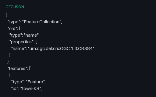
- geojsonGeoJSON — Legacy 2008 `crs` Member (removed in RFC 7946)A FeatureCollection carrying the `crs` member from the 2008 GeoJSON specification. RFC 7946 removed it and fixed the CRS as WGS 84, so a modern reader should treat this as an ignorable foreign member — but plenty of exporters still write it and some readers still obey it.
- gpkgGeoPackage — Features Stored in Web Mercator (EPSG:3857)The same five towns stored as projected metres rather than degrees, with EPSG:3857 registered in gpkg_spatial_ref_sys and stamped into every geometry blob's header. Unlike GeoJSON, GeoPackage genuinely supports this — so it is the clean way to test that your reader honours the declared SRS instead of assuming 4326.
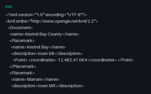
- kmlKestrel Bay Territory — KML TwinThe same 14 features as KML Placemarks, with the multi-point buoys expressed as a MultiGeometry and the two holed polygons using innerBoundaryIs. KML orders coordinates longitude-first like GeoJSON, which makes it the least surprising twin in this group.
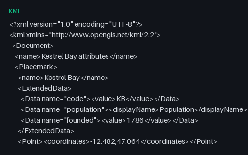
- kmlKML — ExtendedData Untyped Data ElementsAttributes carried in `ExtendedData/Data` elements, which have names and display names but no declared types — every value is a string. Importers must infer that population is a number, and this is where a silently wrong inference starts.
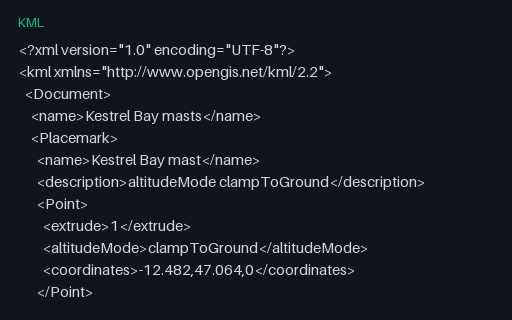
- kmlKML — extrude With Three Different altitudeMode ValuesFour extruded points whose third coordinate means three different things depending on the `altitudeMode` beside it: ignored when clamped, height above terrain when relative, height above the ellipsoid when absolute. Copying the number without the mode changes what the data says.
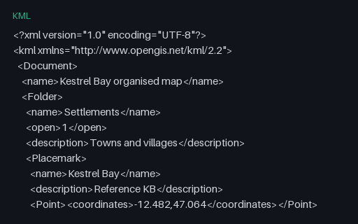
- kmlKML — Nested Folders (three levels)Eight Placemarks arranged in three levels of Folder, the hierarchy KML uses for layer trees. GeoJSON has nothing equivalent, so a converter must either flatten and record the path or lose the structure entirely — and this file makes which one it did obvious.
Generated by generation/geospatial.py. Free for any use, no attribution required — license.