
Kestrel Bay Towns — Longitude/Latitude CSV
The five towns as a plain CSV with separate longitude and latitude columns — the most common way point data actually arrives. Convert it to GeoJSON and diff against the Point features in the master to score column-order and axis-order handling.
code,name,population,founded,longitude,latitude
KB,Kestrel Bay,4820,1786,-12.482,47.064
MR,Marram,1180,1834,-12.3915,47.112
HW,Holloway,2670,1801,-12.551,47.018
NP,Ninepin,640,1902,-12.4402,46.9725
QC,Quillan Cross,310,1877,-12.6135,47.0885
Specifications
- Territory
- Kestrel Bay County (invented)
- Crs
- WGS 84 (EPSG:4326), longitude/latitude order
- Features
- 5
- Geometry Types
- Point
- Bbox
- -12.64,46.95,-12.36,47.14
- Encoding
- UTF-8
- Format
- CSV
- Columns
- code, name, population, founded, longitude, latitude
- Delimiter
- ,
- Line Endings
- LF
- Header
- true
Testing contract
Reference control- Scenario
- Import the CSV as points and export GeoJSON.
- Expected result
- Five Point features whose coordinates equal the master's town features to six decimal places, in [longitude, latitude] order.
What is a .csv file?
CSV (Comma-Separated Values) is a plain-text tabular format where rows are lines and fields are separated by commas, with quoting rules for values that contain delimiters, quotes, or newlines. It has no formal type system and depends on encoding and dialect conventions. It is the most portable format for tabular data exchange.
How to use this file
Use an example CSV to test parsers against quoting and embedded-delimiter edge cases, header handling, encoding detection, and import pipelines into databases or spreadsheets.
How to use this file for testing
“Kestrel Bay Towns — Longitude/Latitude CSV” is a deterministic Novus Examples fixture for Geospatial, CSV parsing, Conversion testing. GeoJSON, GPX, and KML files with points, lines, polygons, and tracks — for testing map tools, route parsers, and geo importers.
Documented properties for this file: UTF-8 · LF · CSV. Compare results against paired or grouped companions on this page when present (clean↔damaged, searchable↔scanned, or format twins) so scores stay reproducible across runs.
Download the file once, keep the path stable in CI or local scripts, and treat the spec table as the contract: dimensions, seeds, field lists, and roles are intentional. Corrupt or invalid samples are labelled as such — expect parsers to fail loudly rather than silently accept them.
Geospatial fixtures publish one invented territory across formats, with the coordinate reference system and feature counts documented in specs. Convert or reproject and diff against the twin in the same group; edge-case geometries state exactly which assumption they are built to break.
Code examples
import pandas as pd

df = pd.read_csv("kestrel-bay-towns.csv")
print(df.head())
print(df.dtypes)
Related files
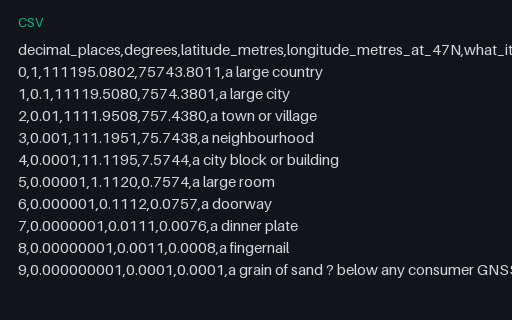
- csvCoordinate Precision — Decimal Places to Metres ReferenceWhat each decimal place is actually worth on the ground, computed on a sphere of mean Earth radius at the territory's latitude. Longitude degrees are shorter than latitude degrees by the cosine of the latitude, which is why the two columns diverge.
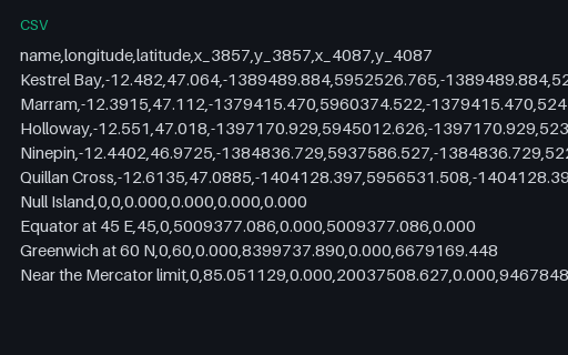
- csvReprojection Control Points — 4326 to 3857 and 4087Nine control points — the five towns plus Null Island, the equator, a high-latitude point and the Web Mercator latitude limit — with their coordinates in both projections. The two target projections share the x formula and differ only in y, which isolates a latitude-transform bug from a longitude one.
- dbfConvert v2 Shapefile DBF CompanionReal DBF component from the five-town Kestrel Bay shapefile set, copied byte-for-byte into the Convert v2 reserve. Stable P8 artifact p8-convert-shapefile-dbf.
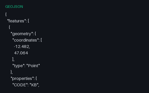
- geojsonConvert v2 Shapefile Expected GeoJSONGeoJSON semantic target for the five-town shapefile set, preserving point order, CODE/NAME/POP/FOUNDED attributes, and longitude/latitude coordinates; the omitted .cpg is safe because every copied DBF value is ASCII. Stable P8 artifact p8-convert-shapefile-geojson.
- prjConvert v2 Shapefile PRJ CompanionReal PRJ component from the five-town Kestrel Bay shapefile set, copied byte-for-byte into the Convert v2 reserve. Stable P8 artifact p8-convert-shapefile-prj.
- shpConvert v2 Shapefile SHP CompanionReal SHP component from the five-town Kestrel Bay shapefile set, copied byte-for-byte into the Convert v2 reserve. Stable P8 artifact p8-convert-shapefile-shp.
Generated by generation/geospatial.py. Free for any use, no attribution required — license.