
KML — Google gx:Track Extension (time-stamped positions)
A `gx:Track` from the Google KML extension: ten `when` timestamps followed by ten `gx:coord` positions, paired by index rather than nested. Note the coordinates are space-separated here even though core KML uses commas — a detail that breaks parsers reusing the same splitting code.
<?xml version="1.0" encoding="UTF-8"?>
<kml xmlns="http://www.opengis.net/kml/2.2" xmlns:gx="http://www.google.com/kml/ext/2.2">
  <Document>
    <name>Kestrel Bay GPS trace</name>
    <Placemark>
      <name>Coast Road trace</name>
      <gx:Track>
        <altitudeMode>clampToGround</altitudeMode>
        <when>2026-01-01T09:00:00Z</when>
        <when>2026-01-01T09:00:15Z</when>
        <when>2026-01-01T09:00:30Z</when>
        <when>2026-01-01T09:00:45Z</when>
        <when>2026-01-01T09:01:00Z</when>
        <when>2026-01-01T09:01:15Z</when>
        <when>2026-01-01T09:01:30Z</when>
        <when>2026-01-01T09:01:45Z</when>
        <when>2026-01-01T09:02:00Z</when>
        <when>2026-01-01T09:02:15Z</when>
        <gx:coord>-12.482008 47.064024 12.1</gx:coord>
        <gx:coord>-12.478086 47.066181 18.9</gx:coord>
        <gx:coord>-12.474186 47.068297 24.8</gx:coord>
        <gx:coord>-12.470269 47.070538 30.5</gx:coord>
        <gx:coord>-12.466428 47.072646 36.7</gx:coord>
        <gx:coord>-12.462489 47.074851 41.5</gx:coord>
        <gx:coord>-12.458586 47.077037 46.1</gx:coord>
        <gx:coord>-12.45468 47.079139 49.4</gx:coord>
        <gx:coord>-12.45079 47.081317 53.1</gx:coord>
        <gx:coord>-12.446942 47.083558 56.3</gx:coord>
      </gx:Track>
    </Placemark>
  </Document>
</kml>
Specifications
- Format
- KML 2.2
- Namespace
- http://www.opengis.net/kml/2.2
- Crs
- WGS 84 (EPSG:4326)
- Coordinate Order
- longitude,latitude[,altitude]
- Encoding
- UTF-8
- Line Endings
- LF
- Placemarks
- 1
- Track Points
- 10
- Extension Namespace
- http://www.google.com/kml/ext/2.2
- Pairing
- each <when> pairs positionally with the <gx:coord> at the same index
- Coordinate Separator
- space (not comma, unlike core KML)
- Seed
- 20260807
Testing contract
Expected to pass- Scenario
- Parse the track and rebuild the timestamped positions.
- Expected result
- Ten positions are recovered in order, each matched to its `when` by index, and the space-separated coordinates parse without falling back to the comma rule.
What is a .kml file?
KML (Keyhole Markup Language) is an XML format for representing geographic features, popularized by Google Earth and Google Maps. It supports placemarks, paths, polygons, styling, and overlays with WGS84 coordinates. It is widely used for sharing annotated maps and 3D geospatial content.
How to use this file
Use an example KML file to test geospatial parsing, placemark and style handling, and converters between KML, GeoJSON, and GPX.
How to use this file for testing
“KML — Google gx:Track Extension (time-stamped positions)” is a deterministic Novus Examples fixture for Geospatial, Time-series data, Conversion testing. GeoJSON, GPX, and KML files with points, lines, polygons, and tracks — for testing map tools, route parsers, and geo importers.
Documented properties for this file: seed 20260807 · UTF-8 · LF. Compare results against paired or grouped companions on this page when present (clean↔damaged, searchable↔scanned, or format twins) so scores stay reproducible across runs.
Download the file once, keep the path stable in CI or local scripts, and treat the spec table as the contract: dimensions, seeds, field lists, and roles are intentional. Corrupt or invalid samples are labelled as such — expect parsers to fail loudly rather than silently accept them.
Geospatial fixtures publish one invented territory across formats, with the coordinate reference system and feature counts documented in specs. Convert or reproject and diff against the twin in the same group; edge-case geometries state exactly which assumption they are built to break.
Related files
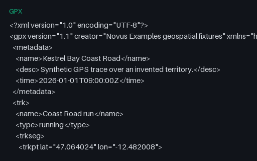
- gpxGPX — Single-Segment Track (24 points)The baseline GPS trace for this category: 24 timestamped, elevated trackpoints in a single segment, walking the Coast Road of the invented territory. Every other GPX fixture here is this file with one thing changed.
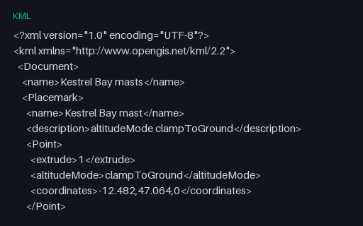
- kmlKML — extrude With Three Different altitudeMode ValuesFour extruded points whose third coordinate means three different things depending on the `altitudeMode` beside it: ignored when clamped, height above terrain when relative, height above the ellipsoid when absolute. Copying the number without the mode changes what the data says.
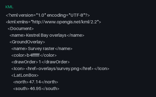
- kmlKML — GroundOverlay and ScreenOverlayA georeferenced GroundOverlay pinned to the territory's bounding box and a ScreenOverlay anchored to a pixel position. Both reference images that are not present, which is the normal state for a bare .kml and the reason KMZ exists.
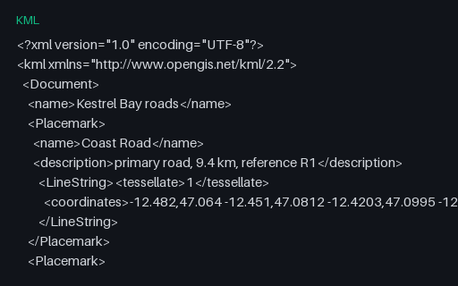
- kmlKML — LineString Placemarks With tessellateThe three roads as LineString Placemarks with `tessellate` set, which tells a globe renderer to drape the line over terrain rather than drawing it as a straight chord. Converters that drop the flag produce lines that tunnel through hills.
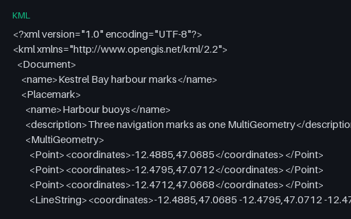
- kmlKML — MultiGeometry Mixing Points and a LineStringOne Placemark whose MultiGeometry mixes three Points with a LineString. GeoJSON has no equivalent single type for a heterogeneous set, so this must become a GeometryCollection — and converters that reach for MultiPoint instead lose the line.
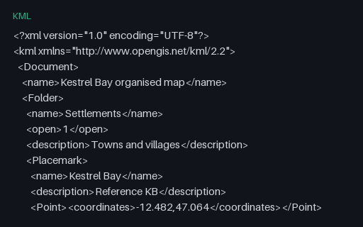
- kmlKML — Nested Folders (three levels)Eight Placemarks arranged in three levels of Folder, the hierarchy KML uses for layer trees. GeoJSON has nothing equivalent, so a converter must either flatten and record the path or lose the structure entirely — and this file makes which one it did obvious.
Generated by generation/geospatial.py. Free for any use, no attribution required — license.