
GPX 1.1 — Current Schema
The same eight trackpoints written to the GPX 1.1 schema. The two versions differ in namespace and in where document metadata lives — 1.1 wraps it in a `metadata` element, 1.0 puts name, desc and time directly under `gpx` — which is exactly what a namespace-hardcoding reader gets wrong.
<?xml version="1.0" encoding="UTF-8"?>
<gpx version="1.1" creator="Novus Examples geospatial fixtures" xmlns="http://www.topografix.com/GPX/1/1">
  <metadata>
    <name>Kestrel Bay Coast Road</name>
    <desc>Synthetic GPS trace over an invented territory.</desc>
    <time>2026-01-01T09:00:00Z</time>
  </metadata>
  <trk>
    <name>Coast Road excerpt</name>
    <trkseg>
      <trkpt lat="47.064024" lon="-12.482008">
        <ele>12.1</ele>
        <time>2026-01-01T09:00:00Z</time>
      </trkpt>
      <trkpt lat="47.066181" lon="-12.478086">
        <ele>18.9</ele>
        <time>2026-01-01T09:00:15Z</time>
      </trkpt>
      <trkpt lat="47.068297" lon="-12.474186">
        <ele>24.8</ele>
        <time>2026-01-01T09:00:30Z</time>
      </trkpt>
      <trkpt lat="47.070538" lon="-12.470269">
        <ele>30.5</ele>
        <time>2026-01-01T09:00:45Z</time>
      </trkpt>
      <trkpt lat="47.072646" lon="-12.466428">
        <ele>36.7</ele>
        <time>2026-01-01T09:01:00Z</time>
      </trkpt>
      <trkpt lat="47.074851" lon="-12.462489">
        <ele>41.5</ele>
        <time>2026-01-01T09:01:15Z</time>
      </trkpt>
      <trkpt lat="47.077037" lon="-12.458586">
        <ele>46.1</ele>
        <time>2026-01-01T09:01:30Z</time>
      </trkpt>
      <trkpt lat="47.079139" lon="-12.45468">
        <ele>49.4</ele>
        <time>2026-01-01T09:01:45Z</time>
      </trkpt>
    </trkseg>
  </trk>
</gpx>
Specifications
- Crs
- WGS 84 (EPSG:4326)
- Encoding
- UTF-8
- Line Endings
- LF
- Seed
- 20260807
- Jitter Sigma Degrees
- 0.000025
- Start Time
- 2026-01-01T09:00:00Z
- Sample Interval Seconds
- 15
- Format
- GPX 1.1
- Tracks
- 1
- Segments
- 1
- Trackpoints
- 8
- Namespace
- http://www.topografix.com/GPX/1/1
- Metadata Element
- true
Testing contract
Expected to pass- Scenario
- Open the file with a reader and check that it recognises the GPX 1.1 namespace.
- Expected result
- Eight identical trackpoints load from both versions; a reader bound to one namespace fails on the other rather than silently returning zero points.
What is a .gpx file?
GPX (GPS Exchange Format) is an XML schema for GPS data, storing waypoints, routes, and tracks with coordinates, elevation, and timestamps. It is the standard interchange format for GPS devices and fitness and navigation apps. Track points capture recorded movement over time.
How to use this file
Use an example GPX file to test GPS track parsing, elevation and timestamp handling, and tools that import routes or visualize recorded activity.
How to use this file for testing
“GPX 1.1 — Current Schema” is a deterministic Novus Examples fixture for Geospatial, Conversion testing, Error handling. GeoJSON, GPX, and KML files with points, lines, polygons, and tracks — for testing map tools, route parsers, and geo importers.
Documented properties for this file: seed 20260807 · UTF-8 · LF. Compare results against paired or grouped companions on this page when present (clean↔damaged, searchable↔scanned, or format twins) so scores stay reproducible across runs.
Download the file once, keep the path stable in CI or local scripts, and treat the spec table as the contract: dimensions, seeds, field lists, and roles are intentional. Corrupt or invalid samples are labelled as such — expect parsers to fail loudly rather than silently accept them.
Geospatial fixtures publish one invented territory across formats, with the coordinate reference system and feature counts documented in specs. Convert or reproject and diff against the twin in the same group; edge-case geometries state exactly which assumption they are built to break.
Code examples
import gpxpy  # pip install gpxpy

with open("gpx-1-1-schema.gpx") as f:
    gpx = gpxpy.parse(f)
print(sum(len(t.segments) for t in gpx.tracks), "segments")
Related files
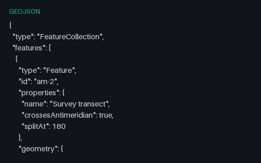
- geojsonGeoJSON — Antimeridian Line Split per RFC 7946The same transect cut at the 180th meridian into a two-part MultiLineString, which is what RFC 7946 section 3.1.9 recommends. The split latitude is the linear interpolation of the unsplit twin, so the two files describe the same ground path.
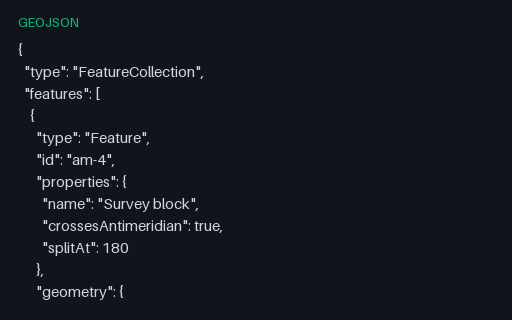
- geojsonGeoJSON — Antimeridian Polygon Split into a MultiPolygonThe straddling block cut at 180 into two polygons that share an edge on the meridian — the interoperable form. Use it as the expected output when testing an antimeridian-splitting routine against the unsplit twin.
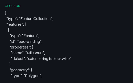
- geojsonGeoJSON — Clockwise Exterior Ring (right-hand rule violated)Both rings of the Mill Court parcel are wound the wrong way round: the exterior clockwise, the interior counter-clockwise. RFC 7946 mandates the right-hand rule, and consumers that rely on winding to tell holes from shells will read this polygon inside out.
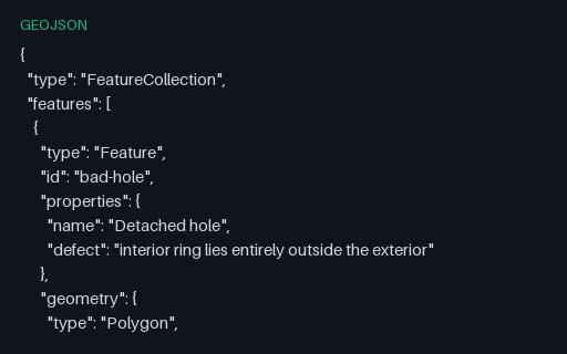
- geojsonGeoJSON — Intentionally Invalid: Hole Outside Its ShellIntentionally invalid: the second ring is a whole separate parcel filed as an interior ring of the first, which OGC Simple Features forbids. It is what happens when a MultiPolygon is flattened into a Polygon by concatenating rings.
- geojsonGeoJSON — Intentionally Invalid: Latitude Before LongitudeIntentionally invalid: the five towns with their coordinates written latitude-first. RFC 7946 fixes the order as longitude then latitude, and this is the mistake that arrives via an EPSG-URN-ordered source such as the GML twin in the territory subcategory.
- geojsonGeoJSON — Intentionally Invalid: Self-Intersecting RingIntentionally invalid: a bowtie ring whose two lobes wind in opposite directions, so the shoelace areas nearly cancel. Buffer, intersection and area operations on this geometry return nonsense rather than failing, which is why it belongs in a validation suite.
Generated by generation/geospatial.py. Free for any use, no attribution required — license.