
MBTiles — Structurally Valid Tileset With No Tiles
Every required MBTiles table and metadata key, and not one tile row. This is what a failed or interrupted tile build actually produces, and it is the fixture that finds code which reports success because the file opened and the schema validated.
| name | value |
|---|---|
| name | Empty tileset |
| format | png |
| type | overlay |
| version | 1.0.0 |
| description | Structurally valid MBTiles containing no tiles |
| bounds | -180.0,-85.0511,180.0,85.0511 |
| minzoom | 0 |
| maxzoom | 0 |
Specifications
- Format
- MBTiles 1.3 (SQLite)
- Tiles
- 0
- Metadata Rows
- 8
- Min Zoom
- 0
- Max Zoom
- 0
- Schema Complete
- true
- Bounds
- -180.0,-85.0511,180.0,85.0511
Testing contract
Expected to pass- Scenario
- Point a tile server or validator at the file and ask it to serve zoom 0.
- Expected result
- The tileset opens and validates structurally, but the tile query returns no rows and the consumer reports an empty tileset rather than a working layer.
What is a .mbtiles file?
MBTiles is a specification for storing map tiles in a SQLite database. A metadata table records the tile set's name, format, bounds, and zoom range, and a tiles table holds one row per tile keyed by zoom_level, tile_column, and tile_row with the tile image or vector payload as a blob. Crucially, tile_row uses the TMS convention, which is flipped vertically relative to the XYZ scheme most web maps use.
How to use this file
Use an example .mbtiles file to test tile servers, offline map readers, and tile-set converters, verifying the TMS-versus-XYZ row flip, that the metadata bounds agree with the tiles actually present, and that a request outside the zoom range fails cleanly.
How to use this file for testing
“MBTiles — Structurally Valid Tileset With No Tiles” is a deterministic Novus Examples fixture for Geospatial, Error handling, Data import. GeoJSON, GPX, and KML files with points, lines, polygons, and tracks — for testing map tools, route parsers, and geo importers.
Documented properties for this file: MBTiles 1.3 (SQLite). Compare results against paired or grouped companions on this page when present (clean↔damaged, searchable↔scanned, or format twins) so scores stay reproducible across runs.
Download the file once, keep the path stable in CI or local scripts, and treat the spec table as the contract: dimensions, seeds, field lists, and roles are intentional. Corrupt or invalid samples are labelled as such — expect parsers to fail loudly rather than silently accept them.
Geospatial fixtures publish one invented territory across formats, with the coordinate reference system and feature counts documented in specs. Convert or reproject and diff against the twin in the same group; edge-case geometries state exactly which assumption they are built to break.
Related files
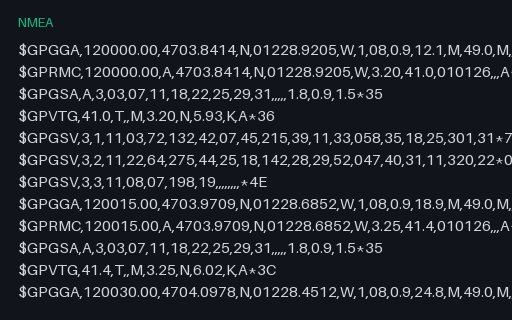
- nmeaNMEA 0183 — Bad Checksum and Truncated SentenceA log with one sentence whose checksum has been altered and a final sentence truncated mid-transmission with no checksum at all — the two ways a serial GPS feed actually degrades. A correct parser drops both and keeps everything else.
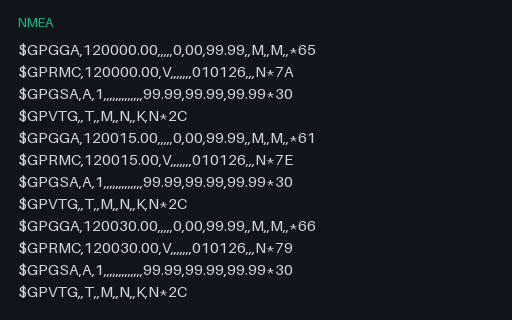
- nmeaNMEA 0183 — Receiver With No FixSix cycles of a receiver that has power but no satellite lock: GGA fix quality 0, RMC status V, and empty coordinate fields throughout. Parsers that split on commas and index positionally read these empty fields as zeros and plot the track at Null Island.
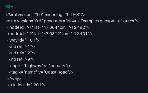
- osmOSM XML — Intentionally Invalid: Way and Relation With Dangling ReferencesIntentionally invalid: a way referencing node -9 and a relation referencing way -999, neither of which is in the file. This is the normal state of a bounding-box extract, where objects are clipped at the boundary — so a reader has to decide between rejecting the file and building partial geometry, and must say which.
- gpkgGeoPackage — Aspatial Attributes Table (no geometry column)A GeoPackage holding an `attributes` table with no geometry at all — the standard's own answer to a lookup table you want to ship alongside your layers. Its gpkg_contents row has null bounds and a null SRS, which is what readers that assume every row is spatial trip over.
- gpkgGeoPackage — Three Feature Layers in One SQLite ContainerThe territory as an OGC GeoPackage: an ordinary SQLite database with the three required metadata tables and three feature layers whose geometry columns hold GeoPackage binary blobs. Unlike a shapefile it carries several geometry types, long column names and real typed columns in one file.
- geojsonGeoJSON — Antimeridian Line Split per RFC 7946The same transect cut at the 180th meridian into a two-part MultiLineString, which is what RFC 7946 section 3.1.9 recommends. The split latitude is the linear interpolation of the unsplit twin, so the two files describe the same ground path.
Generated by generation/geospatial.py. Free for any use, no attribution required — license.