
Real-estate Listings (JSON, 30 records)
The property listings as a JSON array — the format twin of the CSV, for import and mapping tests.
[
  {
    "listing_id": "L0001",
    "address": "8769 Oak St",
    "city": "Denver",
    "state": "CO",
    "type": "apartment",
    "price": 1187000,
    "beds": 3,
    "baths": 3.0,
    "sqft": 1608,
    "year_built": 1987,
    "latitude": 39.75292,
    "longitude": -105.05308,
    "status": "for_sale"
  },
  {
    "listing_id": "L0002",
    "address": "3795 Pine St",
    "city": "Portland",
    "state": "OR",
    "type": "condo",
    "price": 1059000,
    "beds": 1,
    "baths": 1.5,
    "sqft": 2998,
    "year_built": 1978,
    "latitude": 45.51004,
    "longitude": -122.61966,
    "status": "sold"
  },
  {
    "listing_id": "L0003",
    "address": "9786 Ash St",
    "city": "Portland",
    "state": "OR",
    "type": "condo",
    "price": 262000,
    "beds": 3,
    "baths": 2.5,
    "sqft": 3520,
    "year_built": 1955,
    "latitude": 45.48338,
    "longitude": -122.6642,
    "status": "for_sale"
  },
  {
    "listing_id": "L0004",
    "address": "7319 Willow St",
"city": "Austin",Specifications
- Records
- 30
- Schema
- listing_id, address, city, state, type, price, beds, baths, sqft, year_built, latitude, longitude, status
- Domain
- real estate
What is a .json file?
JSON (JavaScript Object Notation) is a lightweight, text-based data-interchange format representing objects, arrays, strings, numbers, booleans, and null. It is language-independent, human-readable, and the dominant format for web APIs and configuration. It requires a single well-formed root value.
How to use this file
Use an example JSON file to test parsers and serializers, schema validation, Unicode and number-precision handling, and API request or response processing.
How to use this file for testing
“Real-estate Listings (JSON, 30 records)” is a deterministic Novus Examples fixture for Data import, Geospatial, Conversion testing. Realistic faker-generated datasets with documented schemas for testing import and ETL flows.
Documented properties for this file: 30 records · schema: listing_id, address, city, state, type, price, beds, baths, sqft, year_built, latitude, longitude, status. Compare results against paired or grouped companions on this page when present (clean↔damaged, searchable↔scanned, or format twins) so scores stay reproducible across runs.
Download the file once, keep the path stable in CI or local scripts, and treat the spec table as the contract: dimensions, seeds, field lists, and roles are intentional. Corrupt or invalid samples are labelled as such — expect parsers to fail loudly rather than silently accept them.
Data fixtures document their exact quirks — delimiters, encodings, null handling, schema, and row counts — in the spec table. Point your parser or importer at the file and assert it handles the documented edge cases; clean and deliberately-messy siblings make before/after diffs straightforward.
Code examples
import json

with open("listings.json") as f:
    data = json.load(f)
print(type(data), len(data))
Related files
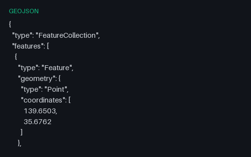
- geojsonWorld Cities (40 points, GeoJSON)The same 40 world cities as a GeoJSON FeatureCollection of Points (longitude, latitude order per RFC 7946), each with name, country, and population properties. The mapping twin of the CSV, for testing GeoJSON parsers and map renderers.
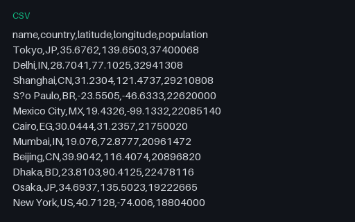
- csvWorld Cities (40 rows, CSV)A curated world-cities dataset — 40 major cities with country, latitude, longitude, and population. A realistic geospatial fixture for testing map plots, geocoding, and CSV→GeoJSON conversion. GeoJSON twin included.
- gpkgGeoPackage — Aspatial Attributes Table (no geometry column)A GeoPackage holding an `attributes` table with no geometry at all — the standard's own answer to a lookup table you want to ship alongside your layers. Its gpkg_contents row has null bounds and a null SRS, which is what readers that assume every row is spatial trip over.
- gpkgGeoPackage — Three Feature Layers in One SQLite ContainerThe territory as an OGC GeoPackage: an ordinary SQLite database with the three required metadata tables and three feature layers whose geometry columns hold GeoPackage binary blobs. Unlike a shapefile it carries several geometry types, long column names and real typed columns in one file.
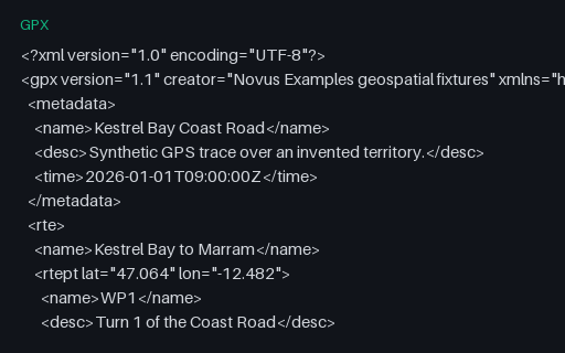
- gpxGPX — Route (rte) Rather Than a TrackA `rte` element: an ordered list of waypoints describing a planned route, with no timestamps because it has not been travelled yet. Many importers only look for `trk` and report this perfectly valid file as empty.
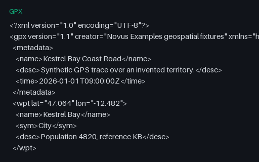
- gpxGPX — Standalone Waypoints OnlyFive `wpt` elements for the towns of the territory, with names, symbols and descriptions but no track or route. It is the GPX equivalent of a point layer, and the third of the three top-level GPX content types.
Generated by generation/data_domains.py. Free for any use, no attribution required — license.