
TopoJSON — Decoded GeoJSON Reference for the Shared-Arc File
Exactly what the shared-arc topology decodes to: two polygons whose rings are stitched from arcs 0, 1 and 2 with arc 0 reversed for the eastern parcel. Because that file is unquantized, this comparison is exact rather than tolerance-based.
{
  "type": "FeatureCollection",
  "bbox": [
    -12.49,
    47.06,
    -12.458,
    47.069
  ],
  "features": [
    {
      "type": "Feature",
      "id": "P-010",
      "properties": {
        "name": "West Field",
        "areaHa": 1.31
      },
      "geometry": {
        "type": "Polygon",
        "coordinates": [
          [
            [
              -12.474,
              47.069
            ],
            [
              -12.474,
              47.06
            ],
            [
              -12.49,
              47.06
            ],
            [
              -12.49,
              47.069
            ],
            [
              -12.474,
              47.069
            ]
          ]
        ]
      }
    },
    {
      "type": "Feature",
      "id": "P-011",
      "properties": {
        "name": "East Field",
"areaHa": 1.31Specifications
- Format
- GeoJSON (RFC 7946)
- Crs
- WGS 84 (EPSG:4326)
- Encoding
- UTF-8
- Line Endings
- LF
- Features
- 2
- Geometry Type
- Polygon
- Decoded From
- topojson-shared-arcs.topojson
- Quantization
- none
- Bbox
- -12.49,47.06,-12.458,47.069
Testing contract
Reference control- Scenario
- Decode topojson-shared-arcs.topojson and compare it with this file position by position.
- Expected result
- Every coordinate matches exactly; any difference is a decoder bug rather than a rounding artefact.
What is a .geojson file?
GeoJSON is a JSON-based format for encoding geographic data structures such as points, lines, and polygons, along with their properties. It uses WGS84 longitude-latitude coordinates and standard feature and feature-collection objects. It is a common interchange format for web mapping and GIS.
How to use this file
Use an example GeoJSON file to test geometry parsing, coordinate handling, and mapping libraries or GIS pipelines that render or analyze spatial features.
How to use this file for testing
“TopoJSON — Decoded GeoJSON Reference for the Shared-Arc File” is a deterministic Novus Examples fixture for Geospatial, Conversion testing, JSON parsing. GeoJSON, GPX, and KML files with points, lines, polygons, and tracks — for testing map tools, route parsers, and geo importers.
Documented properties for this file: UTF-8 · LF · GeoJSON (RFC 7946). Compare results against paired or grouped companions on this page when present (clean↔damaged, searchable↔scanned, or format twins) so scores stay reproducible across runs.
Download the file once, keep the path stable in CI or local scripts, and treat the spec table as the contract: dimensions, seeds, field lists, and roles are intentional. Corrupt or invalid samples are labelled as such — expect parsers to fail loudly rather than silently accept them.
Geospatial fixtures publish one invented territory across formats, with the coordinate reference system and feature counts documented in specs. Convert or reproject and diff against the twin in the same group; edge-case geometries state exactly which assumption they are built to break.
Code examples
import geopandas as gpd

gdf = gpd.read_file("topojson-decoded-twin.geojson")
print(gdf.head())
print(gdf.crs)
Related files
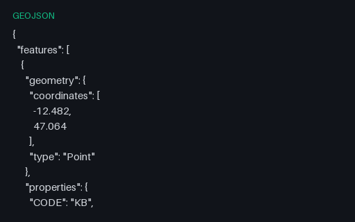
- geojsonConvert v2 Shapefile Expected GeoJSONGeoJSON semantic target for the five-town shapefile set, preserving point order, CODE/NAME/POP/FOUNDED attributes, and longitude/latitude coordinates; the omitted .cpg is safe because every copied DBF value is ASCII. Stable P8 artifact p8-convert-shapefile-geojson.
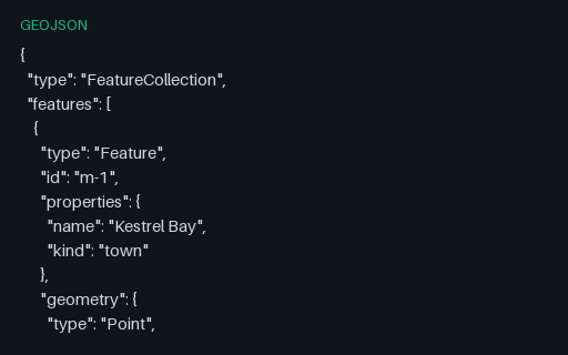
- geojsonGeoJSON — Mixed-Geometry FeatureCollectionAll seven RFC 7946 geometry types in a single FeatureCollection. Formats with a single-geometry-type-per-layer model — shapefile, most database tables — cannot hold this in one layer, so it is the fixture that reveals how a converter splits or refuses it.
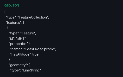
- geojsonGeoJSON — Three-Element Positions With AltitudeFour positions with a third element, which RFC 7946 defines as height in metres above the WGS 84 ellipsoid. Two-dimensional pipelines commonly truncate the third element without saying so, and this file is what proves whether yours does.
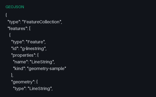
- geojsonGeoJSON Geometry — LineStringA one-feature FeatureCollection holding the four-vertex Coast Road, so a reader can be exercised on LineString in isolation. Coordinates come from the Kestrel Bay territory, so the same shape appears again in every other format in this category.
- geojsonGeoJSON Geometry — MultiLineStringA one-feature FeatureCollection holding all three roads as one geometry, so a reader can be exercised on MultiLineString in isolation. Coordinates come from the Kestrel Bay territory, so the same shape appears again in every other format in this category.
- geojsonGeoJSON Geometry — MultiPointA one-feature FeatureCollection holding three harbour buoys, so a reader can be exercised on MultiPoint in isolation. Coordinates come from the Kestrel Bay territory, so the same shape appears again in every other format in this category.
Generated by generation/geospatial.py. Free for any use, no attribution required — license.