
KMZ — Bundled Icon Referenced by a Relative Path
A KMZ whose style points at `files/markers/town.png` inside the same archive. Resolving that relative href against the archive rather than the filesystem is the whole job of a KMZ reader, and it is where extract-then-parse implementations break.
- doc.kml
- town.png
Specifications
- Format
- KMZ (ZIP-wrapped KML)
- Namespace
- http://www.opengis.net/kml/2.2
- Crs
- WGS 84 (EPSG:4326)
- Coordinate Order
- longitude,latitude[,altitude]
- Encoding
- UTF-8
- Line Endings
- LF
- Members
- 2
- Root Document
- doc.kml
- Bundled Resources
- 1
- Icon Path
- files/markers/town.png
- Icon Size
- 32x32 PNG
- Compression
- deflate
Testing contract
Expected to pass- Scenario
- Render the map without extracting the archive to disk first.
- Expected result
- The icon resolves from inside the ZIP at files/markers/town.png; no request escapes to the filesystem or the network.
What is a .kmz file?
KMZ is a ZIP archive containing a KML document and the resources it references. The main document is stored as doc.kml at the archive root, with icons, overlay images, models, and any additional KML files alongside it, so a single file carries an entire map presentation. Google Earth and most GIS tools read KMZ and KML interchangeably.
How to use this file
Use an example .kmz file to test KML readers, map importers, and archive-aware pipelines, verifying that doc.kml is located correctly, that relative resource paths resolve inside the archive, and that styles and overlays survive extraction.
How to use this file for testing
“KMZ — Bundled Icon Referenced by a Relative Path” is a deterministic Novus Examples fixture for Geospatial, Conversion testing, Data import. GeoJSON, GPX, and KML files with points, lines, polygons, and tracks — for testing map tools, route parsers, and geo importers.
Documented properties for this file: UTF-8 · LF · KMZ (ZIP-wrapped KML). Compare results against paired or grouped companions on this page when present (clean↔damaged, searchable↔scanned, or format twins) so scores stay reproducible across runs.
Download the file once, keep the path stable in CI or local scripts, and treat the spec table as the contract: dimensions, seeds, field lists, and roles are intentional. Corrupt or invalid samples are labelled as such — expect parsers to fail loudly rather than silently accept them.
Geospatial fixtures publish one invented territory across formats, with the coordinate reference system and feature counts documented in specs. Convert or reproject and diff against the twin in the same group; edge-case geometries state exactly which assumption they are built to break.
Related files
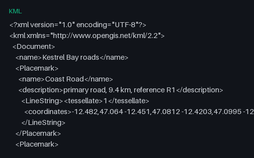
- kmlKML — LineString Placemarks With tessellateThe three roads as LineString Placemarks with `tessellate` set, which tells a globe renderer to drape the line over terrain rather than drawing it as a straight chord. Converters that drop the flag produce lines that tunnel through hills.
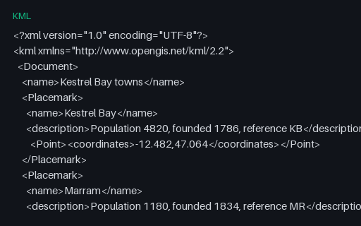
- kmlKML — Point Placemarks With DescriptionsFive town Placemarks with plain-text descriptions and no styling — the smallest useful KML and the baseline for the rest of this subcategory. Coordinates match the master territory, so a KML-to-GeoJSON conversion can be diffed against a known answer.
- gpkgGeoPackage — Aspatial Attributes Table (no geometry column)A GeoPackage holding an `attributes` table with no geometry at all — the standard's own answer to a lookup table you want to ship alongside your layers. Its gpkg_contents row has null bounds and a null SRS, which is what readers that assume every row is spatial trip over.
- gpkgGeoPackage — Three Feature Layers in One SQLite ContainerThe territory as an OGC GeoPackage: an ordinary SQLite database with the three required metadata tables and three feature layers whose geometry columns hold GeoPackage binary blobs. Unlike a shapefile it carries several geometry types, long column names and real typed columns in one file.
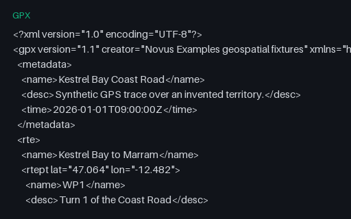
- gpxGPX — Route (rte) Rather Than a TrackA `rte` element: an ordered list of waypoints describing a planned route, with no timestamps because it has not been travelled yet. Many importers only look for `trk` and report this perfectly valid file as empty.
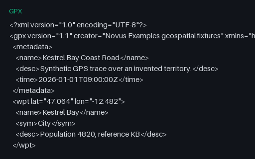
- gpxGPX — Standalone Waypoints OnlyFive `wpt` elements for the towns of the territory, with names, symbols and descriptions but no track or route. It is the GPX equivalent of a point layer, and the third of the three top-level GPX content types.
Generated by generation/geospatial.py. Free for any use, no attribution required — license.